A Trip To The Emerald Isle

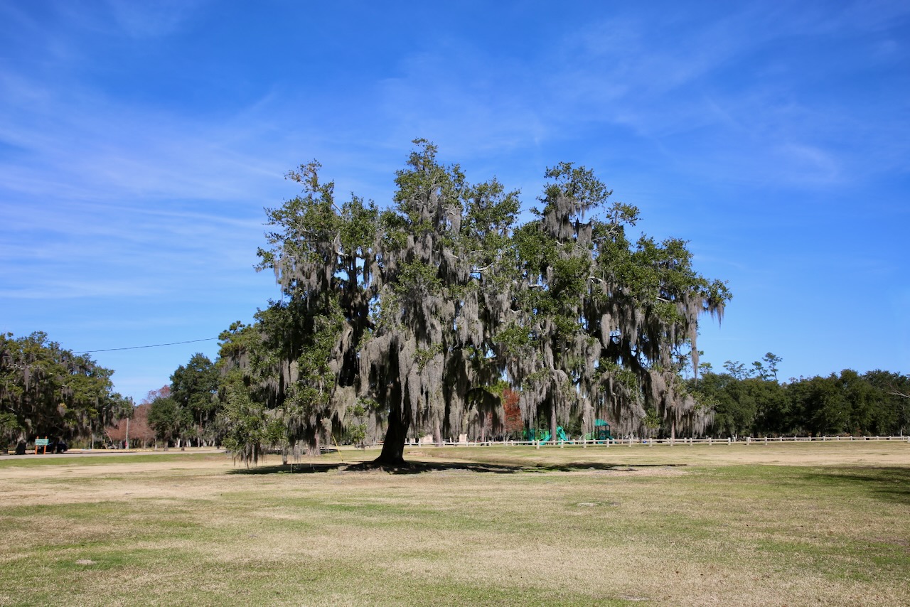
The history behind this nickname for Ireland was first used in the poem “When Erin First Rose” written in 1795. Part of the stanza reads: Alas! for poor Erin that some are still seen, Who would dye the grass red from their hatred to greenLet no feeling of vengeance presume to defile The cause of, or men of, the Emerald Isle. Though it started with a political purpose, the term was soon used to attract tourists to the stunning green landscape that covers the 20th-largest island by area (almost the size of Indiana) with a verdant shade on every rock, tree, and meadow.

Ireland, for us, was almost seen in 2016 when I had planned a grand trip to land in London, drive to Wales, and then fly to the Republic. Short version: Caleb said there would be too much time flying, the rental car broke down in Wales, and England has small roads with low-speed limits that turn a small island into a place that takes a long time to see; even if you take the trains. So we left that country on our list for another time, which now happened to be between Caleb transitioning from the Navy and starting his internship with Cummins where he can turn wrenches and forgo piles of paperwork.

Caleb was given 60 days off with the requirement to return to work, in San Diego, after each 30-day segment (flights and travel we’d have to pay for). We used this time to move across the country (a first without the government’s help) so more money out of pocket but we still wanted to do something memorable before whatever the next chapter brings. I’m still unsure how I choose which country to visit next, but this one was easy because I wanted it to be for Caleb, and Ireland is at the top of his list (and Australia at the top of ours, but we both agree we need more time there).

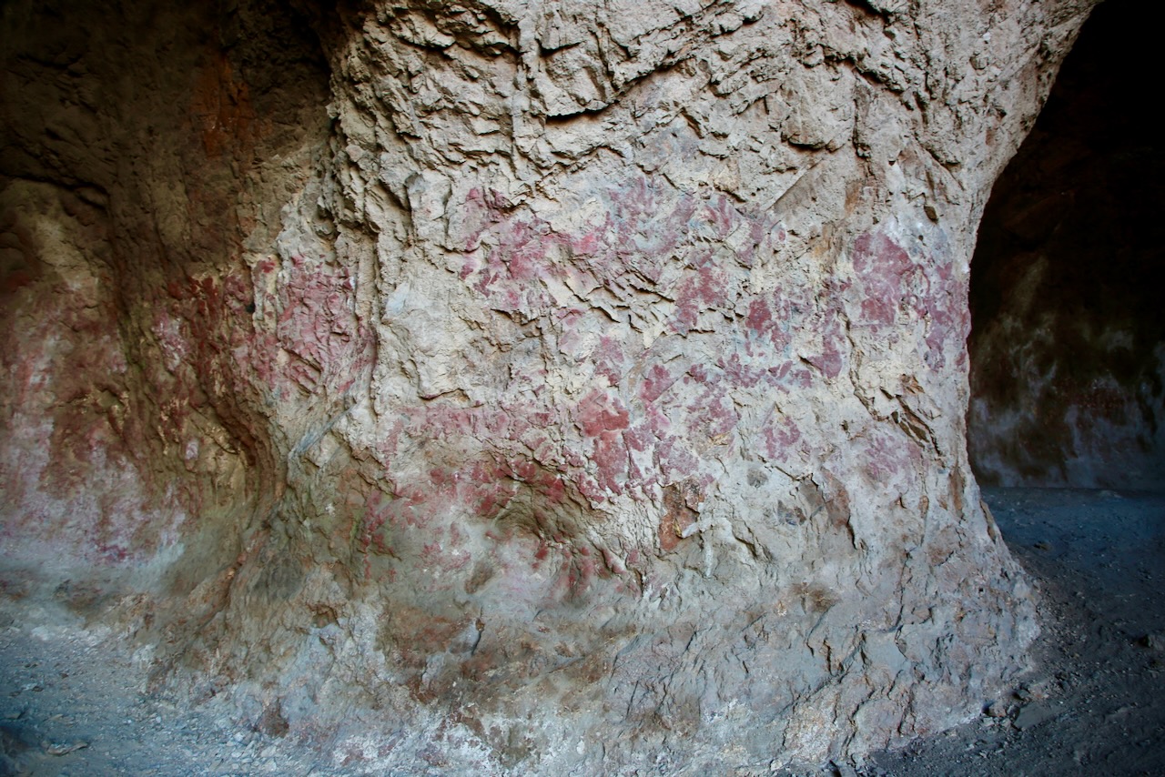
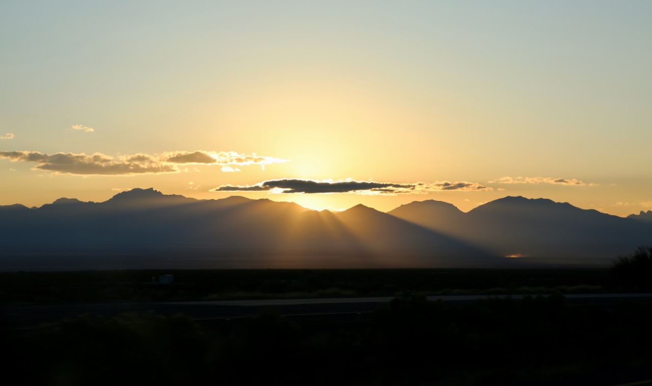
I started my research with National Parks, World Heritage Sites, Atlas Obscura locations, and the top ten things to see or do while there. I read some local blogs about which routes are the best, what clothes to bring in May, places to stay according to budget, and bars to try (but no food recommendations). Brú na Bóinne sells out a month in advance and Skellig Michael is twelve miles off the coast with trips weather permitting so no UNESCO sites for this visit as we only had eight days to peek around. Ireland is known for having four seasons in a day so we packed for cold, cloudy, wet, and windy.

One of two Sing for Hope pianos in Newark International for the 2024 program; this one, Infinite Possibility, was painted by Nick Stavrides. It will then be transferred to a school, hospital, or other community-based organization to continue to spread art globally.

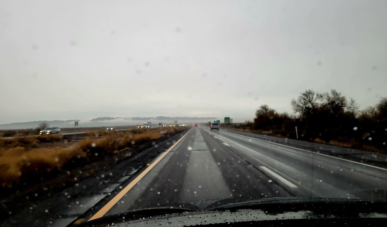
I was grateful for our experience in England when planning this trip as I knew better than to try and see everything (never can anyway) but also to double any drive times that Google suggested (as not everyone does 100mph their first time through Yellowstone, for reference) because I had no idea what roadside attractions would distract us. I made my usual list of ten to twenty things to see daily so that regardless of road delays, business closures, and working hours we always have something to guide us to the next activity or direction.

I also made use of Wanderlog, an excellent app that lets you build an itinerary with time, distance, fees, directions, phone number, website, and recommendations based on interests and location. The best part is having the locations in their home lingo as places can get lost in translation, especially if words are added or missing. Caleb flew into Tampa Saturday night from San Diego and we took Sunday to pack and clean and prep for the trip and our absence by going to the park and looking for boba for me while Caleb talked to his mom on Mother’s Day.

I’m usually restless the night before and this one was no different. Caleb takes me for an early morning walk since we chose to set the alarm when I might’ve slept in to pass the time before our Uber was due. We get picked up in a dirty van with commercials on the radio and a video of us on the driver’s in-cab camera. Through security at the airport; and at the window seat next to us is a communications graduate who celebrated too much last night, tossed on her oversized hoodie in a rush, and filled her barf bag quietly and neatly so as not to upset any nearby stomachs or noses while taxiing.

During our layover in Newark, I see a dog trying to scratch his way to freedom through his pet carrier bag so I walk over quickly to assist him with pets but this only starts him barking, so I back away as I hear the bark double. The man waiting with the caged dog was wearing the other dog on his back, covered like a bird to keep the noisier one from creating a scene. Boarding our plane at Dulles, the row behind First Class gets to interact with Captain David, while the row behind us has a few upgrades for the 6.5-hour flight.

It just so happens that I follow a few pilots on Instagram and one of them mentioned the most useless switch in the cockpit. I used this bit of knowledge to get myself, and Caleb, invited in to see and use said switch and get our photo taken. This small act of kindness brightened the last bit of our day as two men had finished running across an airport to finish theirs. A stewardess brings them water for their efforts as we leave the gate making this one of the nicest crews we’ve flown with in some time. I understand how customer service can leave some people irritable – they need a vacation of their own.

Posted in Art, History, Travel | Tagged , , , , | Leave a comment

All About the Food

I put my feet out of the blankets so that the cold will help the itch of my bug-bitten swollen ankles, scratch them on the top sheet for a bit, then tuck them back in. I’ll wake at 430 after a shit dream and then again an hour before sunrise. We grab coffee and bananas to go because we also got a breakfast recommendation from Dad last night and Baja Cafe on Campbell opens at 6am. It’s starting to rain as we park. The dining room includes us, some scattered singles, and a group of men needing two tables who are dressed for some hands-on work later.

This Southwestern restaurant is known for its variety of egg Benedicts, so I try the Roadrunner that comes with green chile, a staple food in this region. We arrive in Phoenix, through the beautiful rain, around 10am. We spend hours talking about travel and catching up. Caroline makes me a cup of Heisse Liebe tea because it’s pink and sweet like she is. Dad makes me a ginger salad because he loves me and so he can read about it later. Some of the ingredients are pickled ginger (homemade), cabbage, tomato, and brown rice.

If that wasn’t enough memory-making, we’re gifted a hand-written card (oh, the obligatory words of years past) and Caleb gives Dad a kiss on the way out the door after a short 4.5-hour visit. Two of us with cameras and four of us with camera-enabled phones and only one meal photo taken until Dad gets a selfie of the group outside as we’re getting in the car. We meet back up with the rain, the heaviest I’ve driven through, with the blinding light of the bright white sky reflecting off wet pavement and a well-traveled windshield.

A stop at the Dateland Travel Center is never unwelcome. On this visit, I learned that the date shakes now come in two sizes and I gladly ordered a small for $6 (there’s also been a price increase). It’s for this reason we always stop in Yuma to fill the tank, even if only half of it, before driving back into California. We stopped by Caleb’s office so he could work from home through the holidays; too bad that wasn’t an option throughout his career, but some things should be earned. Our last stop for the night, pick up Zeus, my dog when in proximity (his house or mine) to keep each other company for a week while his family is away.

Posted in Family, Food, Friends, Travel | Tagged , , , , | Leave a comment

Foggy Start to a Fishy Finish

pictures taken hours apart

Breakfast is a balanced meal of an English muffin topped – with eggs and salsa verde and the other half with butter and strawberry jam – for me. We start the morning off in an El Paso valley driving through a beautiful fog until we crest 4,400 ft as we enter the Franklin Mountains State Park. I’ll have a look at some of the books in their collection: Texas State Parks: The First 100 Years, 1923-2023 and The Back-Country Kitchen while Caleb gets signed up for an annual pass to Texas state parks, a $70 fee that is now free to active duty military, veterans, and their same-vehicle guests.

In 1896, a gold prospector found tin in the mountains, raised $350,000 to build a mine, and at the peak of production only produced less than $7,000 worth in two years and went out of business in 1915. These tin mines made the park on my to-visit list, but the challenging three-hour trail let me leave that part for next time. In its place, three shorter hikes that cover a third of the distance and only three-quarters of the elevation. We start with a jaunt up West Cottonwood Spring Trail but the 41 degrees in the shade and keep-your-eyes-on-it loose rocky surface soon has us changing our mind.

These mountains are the largest urban park in the US with over 24,000 acres lying within city limits until they reach the border with New Mexico. The Chugach State Park in Anchorage wins the world record, at almost 500,000 acres. The city on the park’s western border is what draws the tourists, in their droves by the millions, to Alaska as the top destination with access via airplane, cruise ship, bush plane, jet boat, ferry, motorcoach (aka bus), railroad, ATV, snowmobile, dog sled, and one road in for cars, RVs, and bikes with limited on/off ramps giving access to a fifth of the state.

We opt for the sunnier Nature Walk Trail with a bird blind where we observe the empty feeders and watering hole before setting off on a path that allows us to look around. There are more purple cacti and yellow grasses to see before the fog reaches us at 4,800 ft. Our third hike of the morning will be the Aztec Caves Trail where we step our way over rocks and climb 544 ft towards a hole in the hill that provides relief from the sun and a view of the valley as the clouds seem to thicken and coat the mountain like a melty fondant icing.

I had a good laugh after the hike as I looked at the 30-hour recovery time that my watch deemed necessary for me to be ready for the next activity of the same intensity. This time frame can range from zero minutes up to four days. I have no way of knowing what my fitness levels were ten years ago because the technology wasn’t there, so I have no comparison, but I look forward to looking back a decade from now and seeing the difference between motivation and aging; also the difference between living at sea level and performing at elevation.

We watch a cyclist get a ticket for not stopping to buy a park pass and continue our descent into the gray goodness that is the gaseous form of water on the I-10 W. On our way to the Chihuahuan Desert Nature Park, where we can see the “pile of shark teeth” (aka Organ) mountains in the near distance still cuddling in their dissipating dress as if preparing for a more rocky revealing afternoon, I keep my eyes on the east as the scene transforms into what appears to be broken statues left in the sand slowly being windswept to become a kid’s castle on another desert slope.

The Chihuahuan Desert is North America’s largest hot desert, the Great Basin is the continent’s largest cold desert, the Sonoran Desert doesn’t have cold winters, and the Mojave Desert is the smallest and hottest of the four major areas that receive less than 10 inches of annual precipitation. This park is here to increase scientific literacy about this changing landscape’s plants, animals, and vistas. We walk amongst the creosote bushes, the shrub that the state is in the process of removing to restore the soil condition and wildlife populations of the grasslands.

Fort Selden Historic Site, along the El Camino Real de Tierra Adentro National Historic Trail, isn’t far by car, but we could save nine miles by riding bicycles over portions where safety gear or hiking would be more appropriate. It would definitely be more scenic and an option to consider when we have more time to explore via such leisurely methods; because obviously, the nine miles saved would have to be covered again to return to the car. This trade route became a battleground between the Apache and the Spanish until 1848 when New Mexico became a US territory.

Fort Selden was built in 1865 and about 1800 soldiers were stationed there to protect travelers and settlers from Apache raids and desperadoes. The fort was abandoned in 1891 as the needs of the military moved northwest and was acquired by Harry Bailey in 1926. His son would donate the land to the state and after ten years of political paperwork, the fort became a state monument in 1974. The exhibit explores life on the edge of danger for the men and women who lived here over 150 years ago. We are offered an array of umbrella colors to choose from to shade us from the desert sun, but we choose to embrace the heat on this cool day.

I love that parks are changing their signs to appeal to different personality types and include humor. I hope their efforts work to “Respect the Rattlesnakes’ right to privacy. Please stay on the trail.” and to get visitors to stop harassing other species whether they look cold, upset, hungry, sick, or otherwise. There’s a covered wagon, a millstone with mesquite beans, and remnants of the prison with a courtroom on top (the only two-story building at the fort). We enjoy the rest of our walk, passing the adobe brick-making station and a table-sized game similar to Candyland, but instead of traveling from field to castle, the player moves from Mexico City to two pueblos, Yungue and Ohke, one on each side of the Rio Grande.

Heading back south towards Highway 10 to continue west is a sign for the Shalam Colony, where a group of Faithists from 1884 – 1901 took in orphaned children and planned to turn them into spiritual leaders far from the corruption of cities. We take a detour to the Prehistoric Trackways National Monument only to be turned away because the area is closed for rock blasting. Had I looked it up, we could have gone to the New Mexico Museum of Natural History and Science or the Las Cruces Museum of Nature and Science and seen their trackways displays.

Located in Apodaca Park sits Dineh (human beings in Navajo and Apache) the 20-foot-tall pine sculpture that honors all the Native Americans of New Mexico. This is the 57th statue by Peter Wolf Toth, on the Trail of the Whispering Giants, dedicated in 1986 and still in excellent condition; something that can’t be said for some that were destroyed by rot, termites, and wind. Others have been moved indoors or onto private property to help preserve them or have been restored by the artist. Three miles away is the World’s Largest Chile Pepper attached to the Big Chile Inn.

We wander inside to see pictures of the Grande Chile construction process and little information placards about different chiles and their origins. The sun’s rays are passing through the mountains, reminiscent of the state flag as we enter Arizona. The red and yellow rays represent the 13 colonies and a setting sun behind a copper star recognizes the state as the largest producer of the metal in the US. The red and yellow also represent the Spanish flags flown by Coronado in 1540. The bottom half blue matches that of the blue in the US flag and this state flag was adopted in 1917. I mention this description to remind myself that every state has a history; one that extends beyond our social construct of their borders.

Dinner tonight will be at Charro Steak & Del Rey, thanks to a suggestion, with a heads-up on the price from Dad, when asked where to eat in Tucson after 630pm. Caleb doesn’t need any encouragement to eat a nice cut of beef and it’s en route to our room for the night and Dad’s place tomorrow. We start the meal with their tableside guacamole (serves 2-4) and then I’ll order the Serious Brussels (serves 2-3), the tequila’d trout (both with leftovers), and the champagne fried strawberries (of which thankfully Caleb ate one of the four). To pair with my meal, a sample of the El Charro 100th Cerveza by Dragoon (a delicious amber-red) and a glass of the Charro Margarita de la Casa.

Caleb ate breakfast and dinner too, but unlike me, he prefers to let his eyeballs, tastebuds, and gastric acids keep the memories of where to eat because the meal is included and where to return because the balance of flavors dancing on his palette doesn’t need a plated picture and a wordy blog description to have happened. For me, I’m keeping track of memories differently, trying to notice the subtleties of aging and how it affects my taste in cuisine, musicians, handicrafts, physical hobbies, etc., so that I can go back and reminisce; even if it’s just about the menagerie of nut butters I’ve had the chance to try.

Posted in Art, Books, Food, Forts, Hiking, History, Military, Places, Plants, Travel | Tagged , , , , , , , , | Leave a comment

Clouds, Rocks, and Signs

I didn’t recognize the park last night, Stephen F. Austin State Park, the same one we stayed at just eight nights ago on our way east. In my defense, we had set up in the dark spot amongst the RVs, which is rare, and I was tired both times. The bathroom and the deer look familiar as we leave under a thick blanket of grey sky so we can get to Attwater Prairie Chicken NWR, also a return trip but one I remember, as the horizon starts to pinken. About 80 birds take to the clouds as we turn down our destination road.

The sun is trapped behind puffy sheets that continue to reveal the white of stones and a large heron as it stirs in the cool morning air. We’ll spot a few deer on the rest of our one-way auto tour and part of me wants to circle back around, but we’ve also got a trip deadline, as usual, so I’m ok leaving this park in hopes of returning again. We’ll stop in Eagle Lake to get Caleb a coffee and I wrongly assumed that the Valero sign above the gas pump meant that the store behind it would offer decent crap coffee.

Caleb said it would’ve been better not to stop at all, so I reassure him I’m ok with tossing the wasted $1.40 of room temp poo water for something more drinkable from a new-to-us place, Buc-ees. This gas station looks like a fancy version of a Dollar Tree and definitely knows how to attract that crowd in their passing droves. We leave with caffeine and chocolate pieces the size of burgers to get us through the mess of roads that is still San Antonio. We miss our poorly marked exit and notice how much the trees have changed in a week.

I’m also keeping an eye on the threateningly thick rain clouds that seem to be playing peek-a-boo with the highway and I’m ok with that as we still have over 500 miles to El Paso tonight. In downtown Kerrville, we hear “Rudolph, the Red-Nosed Reindeer” via the churchbells and I’m grateful for the moment in traffic since I don’t know how long the music will last. We’re stopping to stretch our legs at the Riverside Nature Center. We walk past the makeshift dig site tent and talk with the gentleman behind the counter, who keeps reeling Caleb in for more conversation.

Once free from exchanging words, we can focus on the fossils, shells, and Paluxysaurus jonesi, Texas’ state dinosaur. Enough bones were found on a ranch to assemble 65% of a skeleton and put it on display at the Fort Worth Museum of Science & History. There are pressed flowers, dead bugs, and a resident corn snake named Shucks. We walk their small garden and are back on the road following a pilot truck through a one-lane construction zone.

Our next stop is Fort Lancaster which is 177 miles west out of our three route options; one adding 22 miles to detour south through Rocksprings and the other 37 miles to detour north through Menard. As we pass a rest stop in the process of becoming decrepit and roadways blasted into being with dynamite I’m ready to explore the historic valley that once saw the only attack on a US Army fort by Native Americans (the Kickapoo Indians, along with the help of Mexican traders and renegade whites).

The fort was established in 1855 to protect migrants moving toward California and defended by Buffalo Soldiers (aka African Americans) in 1867, and though they proved their effectiveness, they weren’t yet deemed worthy of integration or equality. The enlisted slept in wedge tents, the officers in wall tents, and picket buildings were reserved for the bakery, carpenter shop, and hospital. The Army experimented with Turnley portable cottages until the more permanent adobe and limestone buildings could take their place and withstand the strong winds in the Pecos River Valley.

The Army was historically unprepared and put soldiers, from the cold northern climates, into the Texas heat in wool uniforms without enough hat to protect their faces. It would take a few years to address the issue, and in the meantime, the men went sans coat. The soldiers found other ways to get in trouble, mostly by being drunk and neglecting their duties which left officers to choose their punishments — solitary confinement with bread and water, forfeit of pay, carrying a knapsack full of rocks, or wearing a barrel coat.

We are offered to rent a golf cart for the 2.5 miles of trail available outside, free to do so but need to sign a waiver. We let the ranger know we did enough sitting to get here and look forward to the lengthy challenge of visiting the 14 stops on the walking guide. Officers lived in the original duplex, the three-bed hospital had a dedicated cook, and the sutler’s store sold liquor, and tobacco, and served as a mail relay. The soldiers would hike six miles for wood to fuel the lime kiln and the kitchens. The barracks housed 30 men. The only women present would’ve been officers’ wives or hired laundresses.

There are other buildings left to ruins and plenty else that took place here, but what I see now are rolling sandy hills covered in wedges and spots of green and some beautiful stones reminiscent of the fireplace in my teenage home, some gathered from this broad region. I notice dancing hoof marks and scattered poos as deer migrate more safely when distanced from the murder pavements of our current transportation infrastructure, though West Virginia has the highest reported roadkill count with Montana in second place, especially between October and December.

We stop in Fort Stockton for flavored coffees – cinnamon roll and pecan peppermint (free from the cashier who doesn’t charge for caffeine) – so we can get to El Paso tonight with our bodies on Eastern Standard Time. It’s here that I notice my ankle is swollen; where my fibula bone is usually more pronounced has been subdued under a layer of red lumps. Time to carry on so that I can drive 85mph in the rain, whistling the car between semis as I pass (not like I did in my 20s, but also not safe and un-rushed) so that we can arrive at 730pm Mountain Time.

Posted in Animals, Camping, Forts, History, Military, Music, Places, Travel, Water | Tagged , , , , | Leave a comment

On the Mississippi Lane to Texas

We wake up in Pensacola and I sit down with a mural of the city and the Blue Angels above within view while I chow down on a waffle with four different syrups – strawberry, chocolate, maple, and caramel – because they’re on offer and the waffle is divided into equal quarters. Caleb makes his breakfast into a sandwich, definitely a guy thing, and makes no fuss about ingesting the necessary calories for whatever the day brings. We’re starting later than usual, but it’s a good thing the road will still be there as we arrive. We pass through Alabama in an hour and arrive in Mississippi.

We stop at the Stennis Space Center; the big debate online being that this is a base, not a museum, and they (whoever the online people are) would be correct. The museum is on the other side of the highway and is distinctly called the Infinity Science Center, which is magically always closed when we’re driving by. With our military IDs we thought we’d try our luck visiting another part of NASA; having successfully enjoyed a tour of the Kennedy Space Center and experiencing a G-force of 3. Anywho, we are waved through the gate by security and I feel like I’m in an action movie.

The reason for this, Caleb thought we might have to think of an excuse as to why we were visiting (such that the outside world has since run out of drinks and we are just stopping to rehydrate), but I’m sure as with all bases there are too many employees and contractors for the rotating gate guards to keep track of. Some bases are more strict on their access policies and make it clear with larger guns that give you ample time to turn around (overseas) but America likes to watch you squirm when you realize you’ve made a wrong turn or followed the lights that you thought led to an exit.

If that wasn’t adventurous enough, we passed by some Rocketdyne buildings, learned that this largest rocket engine testing facility in the US is surrounded by a 125,000-acre buffer zone, and wandered to a random tan building with an MB-3 engine on display, plaque and all, with no signs stating not to have a micro-photoshoot, so I went wild. This type hasn’t been used since the 70s and was only made to build better engines. I’m nerding out on the amount of desiccants used on one side as the most I’ve seen in things I buy is two.

We’re on our way back to the car, in a mostly empty lot, so I parked close when a man comes out and invites us in for candy (don’t mind if I do), our names (even my middle one) on a sticky note (couldn’t be fancier), and confirmation (eyeballs wandering) that I deleted all the pictures of the engine because apparently it’s for their eyes only. There’s a process I’m told where I can get an official picture of one, probably all redacted, but I would share that here, especially if they’re going to be so stingy with their out-in-the-open top-secret toys.

We stop inside the gas station on base to have a look around and I’m on the phone talking about the rows of aluminum cans with brown syrup dried to their tops. The representative of those drinks overhears me and appreciates me pointing that out to him so he can correct the issue and offer his customers the best, not the healthiest or necessary by any means, but if you’re going to imbibe sugar then there shouldn’t be someone else’s sweetener sticking up your way. Good thing I wasn’t going to drink that anyway, but I do like seeing the different flavors that cities/states/countries offer their patrons.

A few minutes later we’re in Louisiana and stopping at the Fontainebleau State Park; one of the many on the Explorin’ LA State Parks mobile pass that offers rewards after checking in to 3, 13, and 19 sites to learn more about the local history. I don’t need the app as an incentive but I do enjoy collecting stamps, stickers, and swag so I will keep this in mind for when I have more time to explore the Cajun culture in the L state. The visitor center is a mix of wood and metal objects on shelves and the floor, a pie safe (a one-sided screened box with shelves that fit in a window), some clay pipe and plate pieces, and some animal parts you can play with, like a turtle-less shell.

The woman at the fee station was more concerned about discussing her kid’s issues with her co-worker and the woman inside the visitor center was too busy researching a Christmas craft, but both found the time to tell us that the cabins were being rebuilt next year from the hurricane damage caused in 2021 and that the park would get around to repairing the boardwalk slowly after because it doesn’t generate income. Of course, I want to see just how closed the trail is, so after a short inspection of the sugar mill ruins, operated between 1828 and 1852, I approach a single barricade in front of a muted shrubbery background.

Just behind the overgrown path is a boardwalk that seems to have been pushed really hard on the playground and collected all the gravel on one side on its way inland, though I couldn’t help but wonder about the condition of what lay around the corner of the upturned wood attempting to sleep on its side. Caleb and I agreed that a few volunteers could easily clean up the busted boardwalk, possibly repurpose some of it, and clear the way for the professional wood layers to give the campers something else to look forward to as a park activity.

We enjoy a lovely walk under the Spanish moss-covered trees, along the beach, and out to the end of the pier before crossing the field of confetti (evidence of a prior celebration). The land here is beautiful, but the history is covered in blood and reduced to two plaques – one for Native People forced West and the other for The Enslaved forced into hazardous labor. I’m glad these reminders are here, as some statues and natural formations have been destroyed, and hope they help towards educating the future to not repeat the pains of the past; as there are many issues to deal with going forward.

Our drive west seems to be broken up into roughly hour increments. Our next stop will be Tickfaw State Park, which also has three closed boardwalks. This narrows our hiking options down to Cut Thru Trail (between the nature center and picnic shelter, through the playground) and the Pine/Hardwood Trail with a mix of gravel, wooden bridges, and dirt paths. We meet JC at the river’s edge as he waits for one of his many hunting dogs to return, one from a mile away. We encounter one, tired on the trail, and have to backtrack towards the water until the dog hears JC’s voice and stops following us.

Also highlighted on the map of approved trails is the loop around the fishing pond located behind the RV campgrounds. Here we will see limpkins (a tropical wetland bird that specializes in eating apple snails – large freshwater parasite toters) in the trees, a gator attempting to hide under a one-inch thick branch in the water, and an armadillo rustling in the sun-coated grass of the afternoon. There’s a picture of me, as a preadolescent, after a visit to the local lake holding an armadillo that Mom caught just for that purpose before we let it go. I decided to leave this one in an unterrified state of being handled by a giant, even if just in the time it takes for a photo in the 90s.

We reach Texas just before 6pm and stop in Orange for an exchange of fluids and to make dinner so that I have something to eat while steering between the concrete and semi-trucks that are the Houston area construction zone and changing the radio station along with my driving speed, constantly. Traffic thins and the speed returns to 75mph from 60mph as we’re two miles from our exit for the night. Caleb gets us to the tent sites at Stephen F. Austin State Park, past the family of deer and the rabbit that we scare off from our site at a quarter to nine. We had stopped at 8pm each night on the way east, so I’m more than ready to be done driving for today.

Posted in Animals, Camping, Food, Hiking, History, Military, People, Plants, Travel, Water | Tagged , , , , | Leave a comment