Bricktown to Little Rock

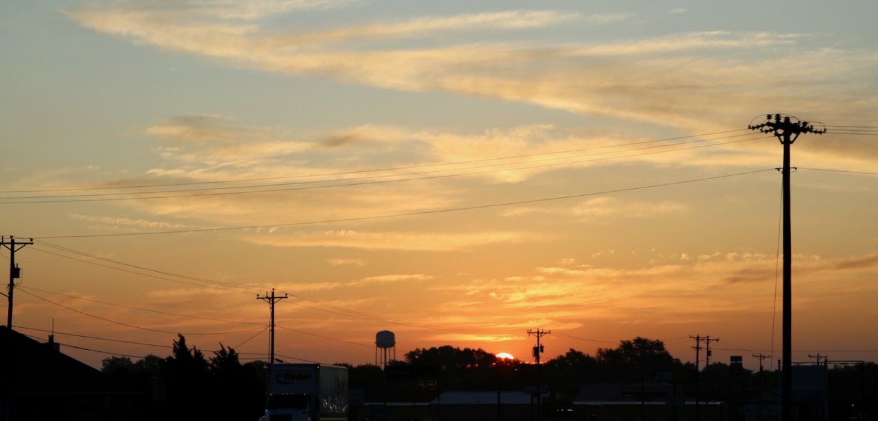
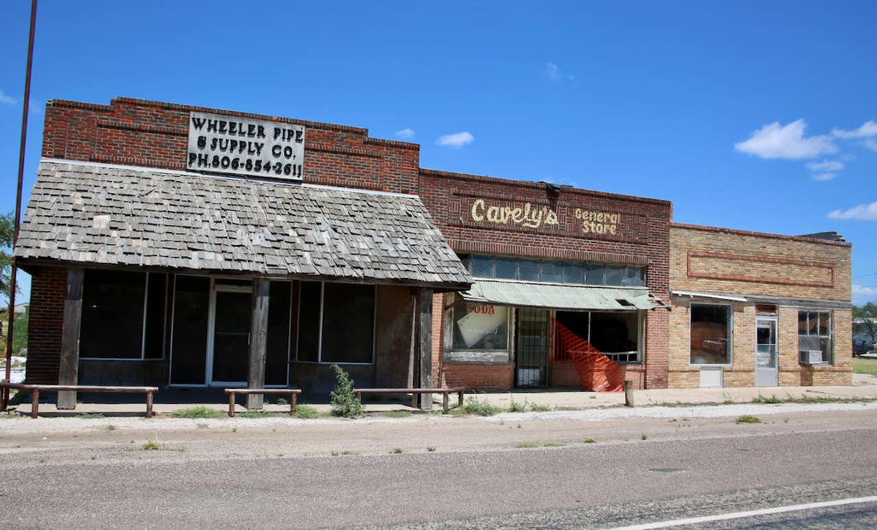
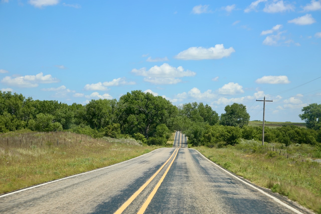
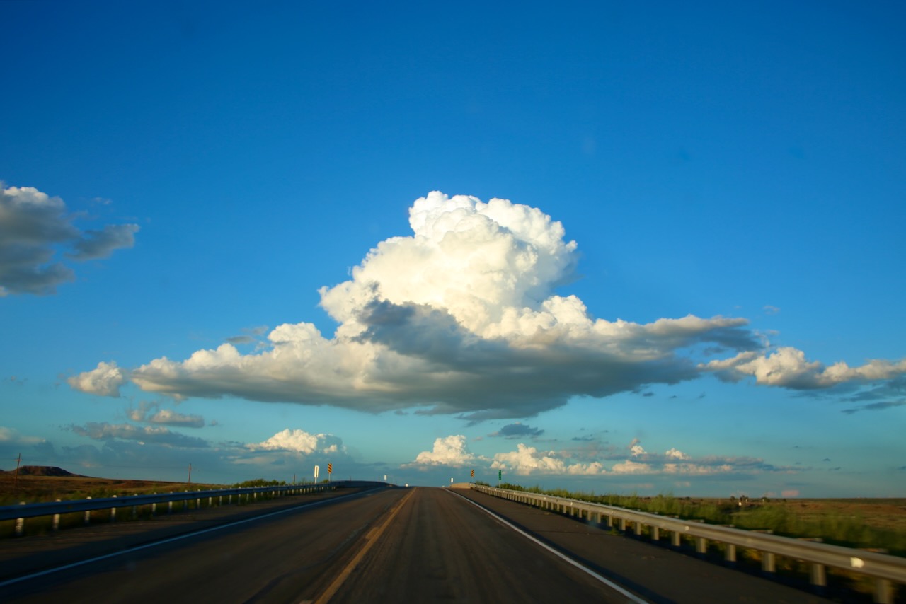
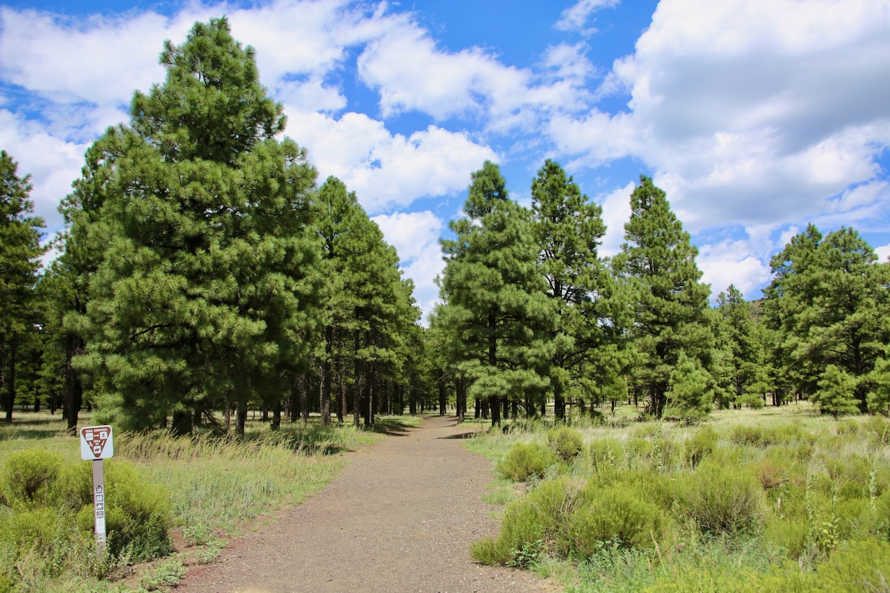
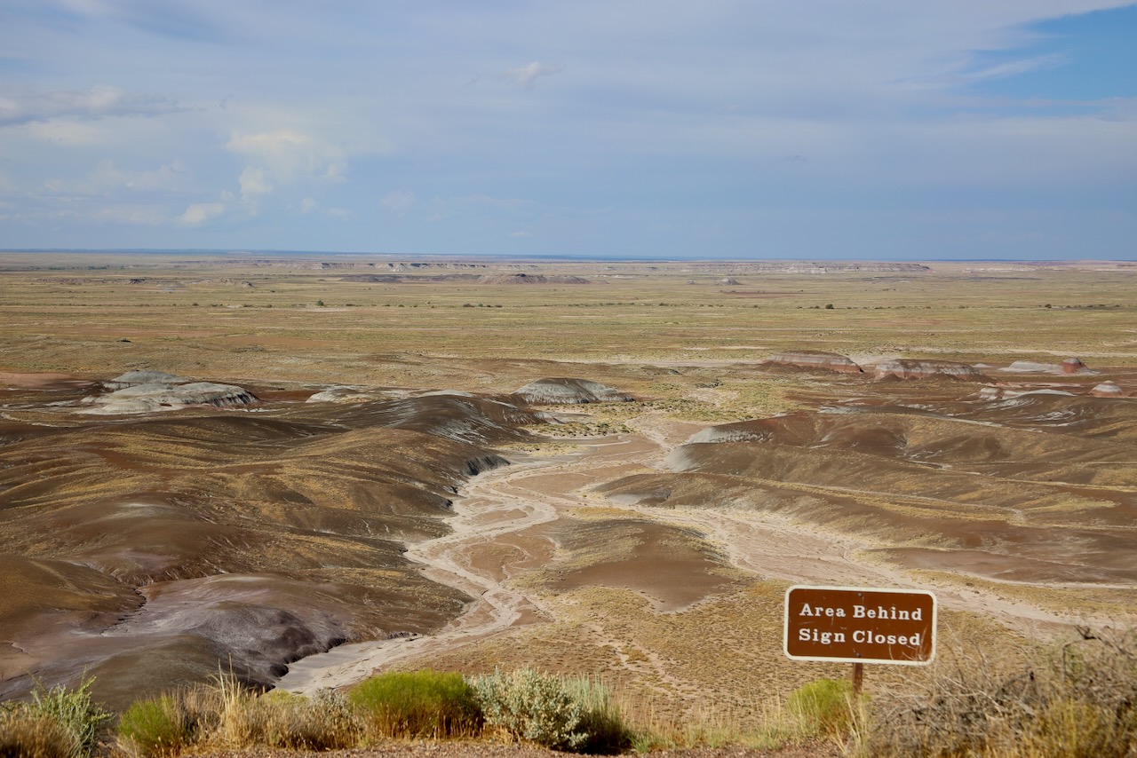
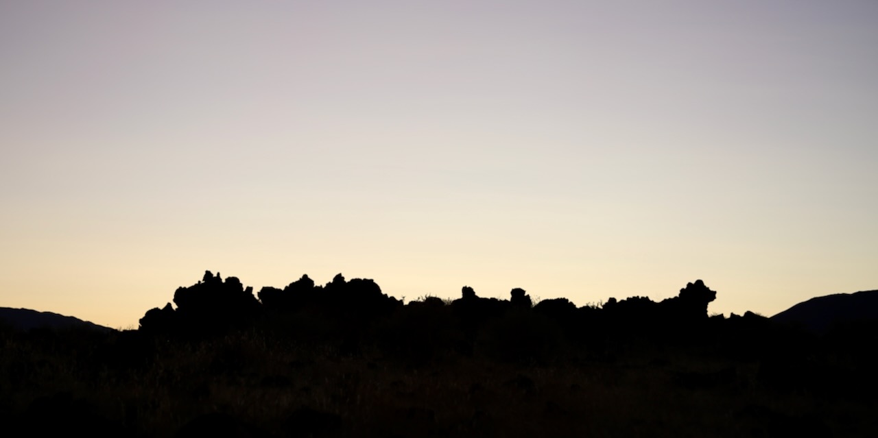
I changed into shorts last night, hoping that less sweat would help me sleep. I jumped out of bed at 2 am, must’ve been a heck of a dream, then crawled back in for another four hours. The first gas station was just lit up pumps, so I got on the highway. I didn’t want to miss the sunrise or deal with headlights, but I also needed gas and a clean windshield. I brushed my teeth and made a sandwich before looping back through Love’s because I’d missed the on-ramp. I wouldn’t mind being on a patio or patch of grass somewhere watching nature in its blinding glory go about its day as I slowly begin the adventure that today will bring.

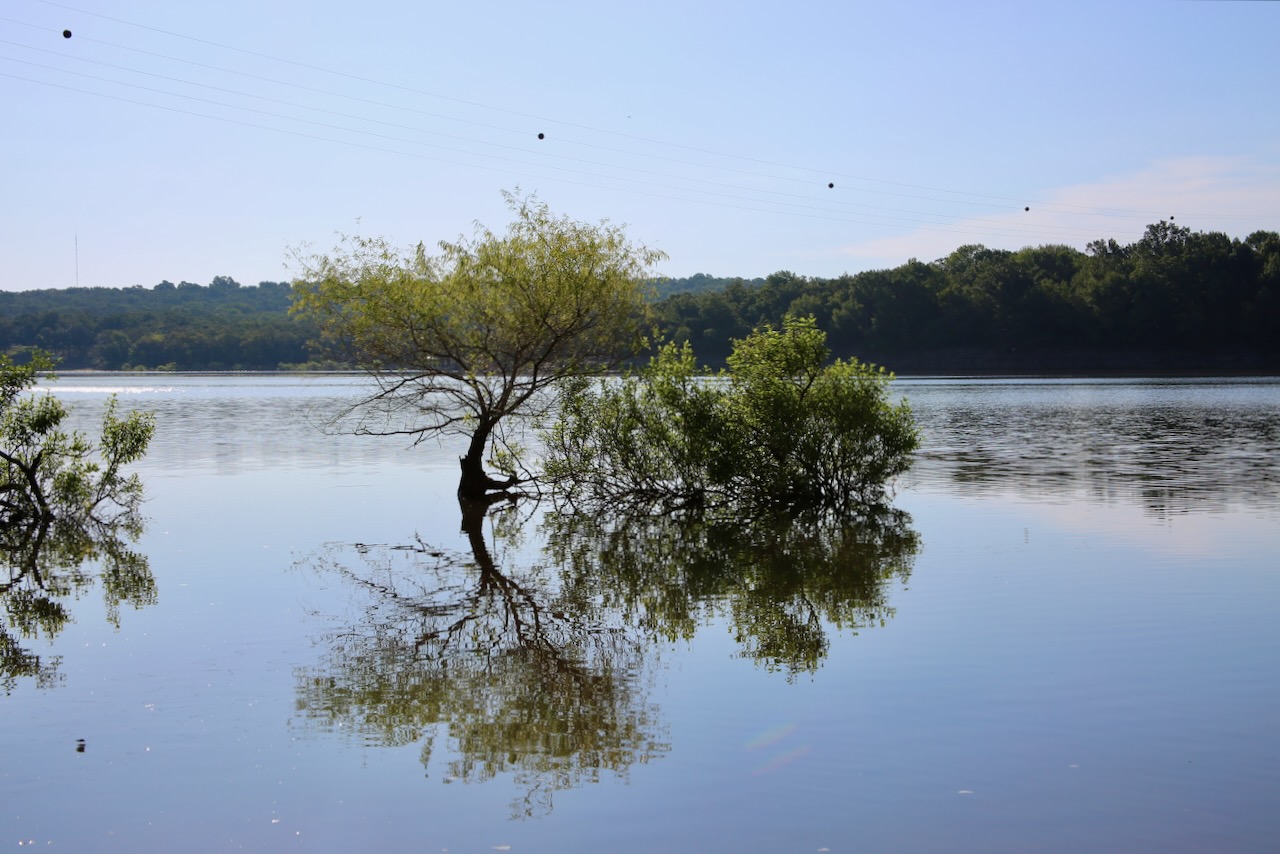
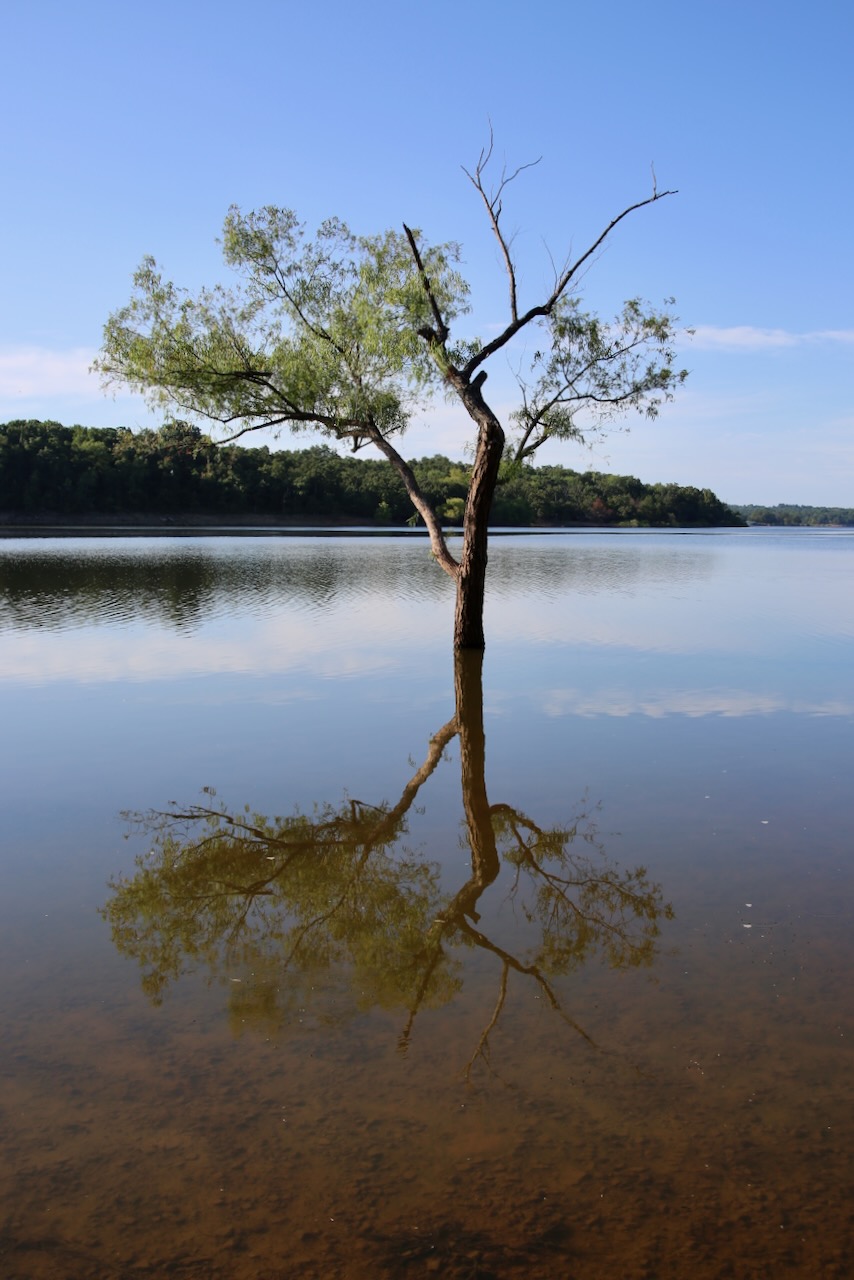
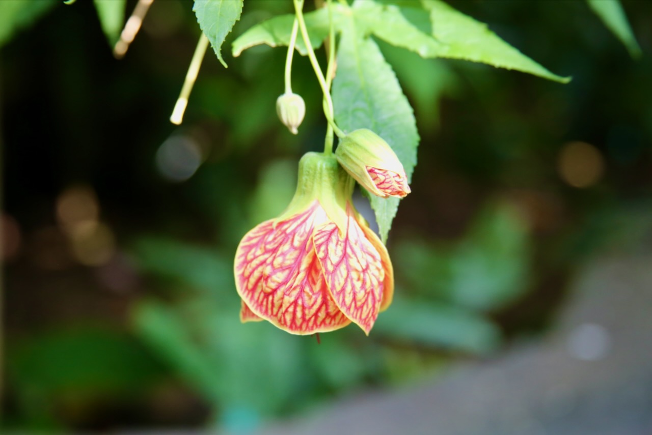
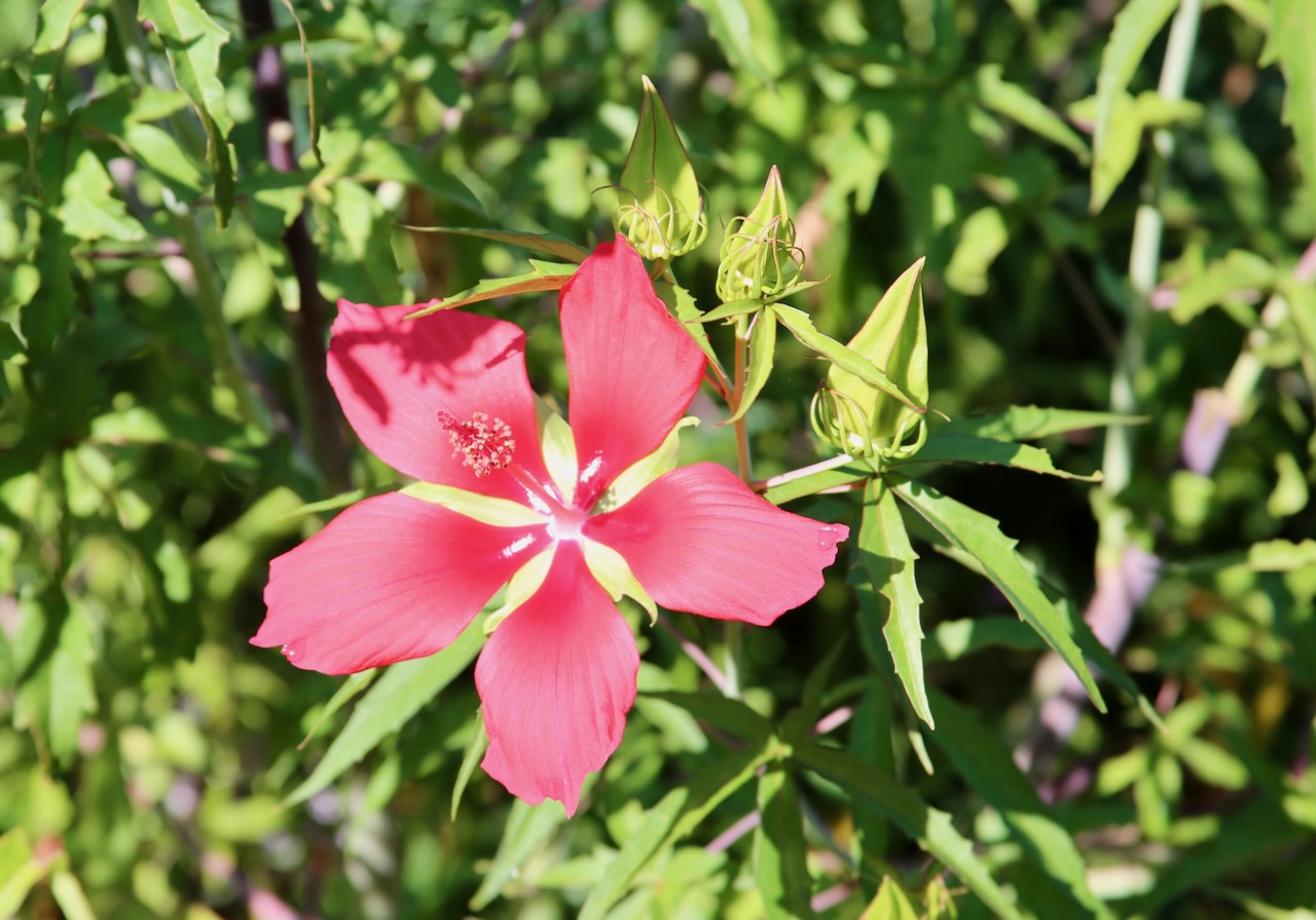
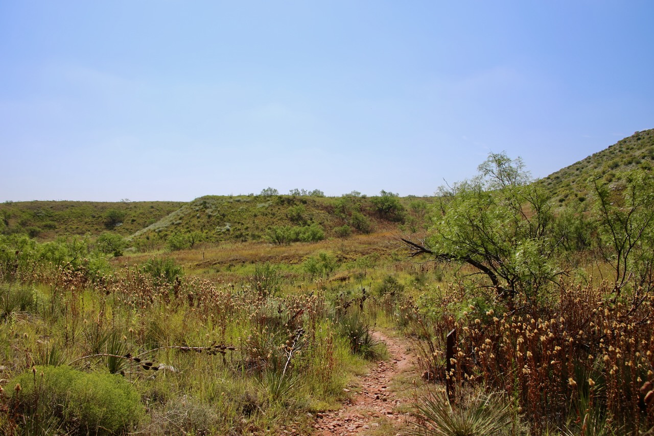
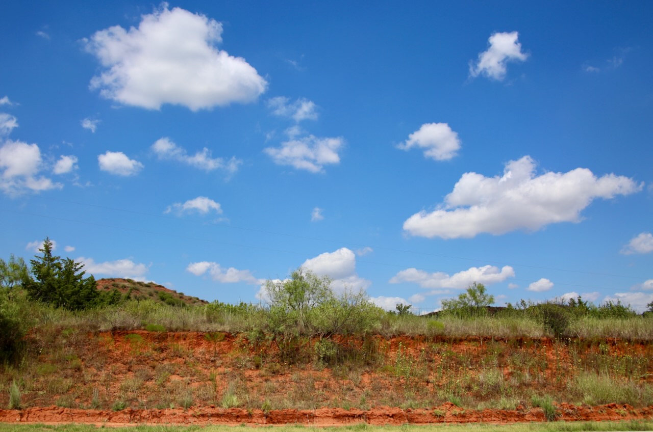
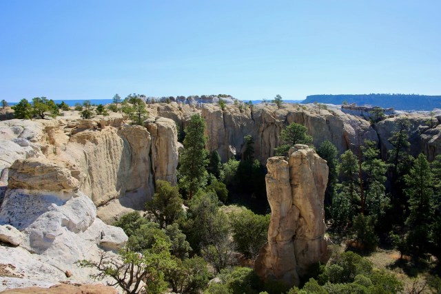
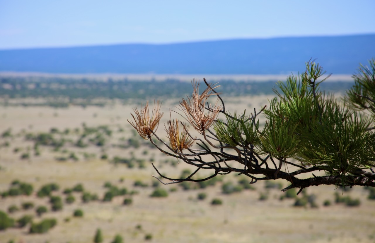
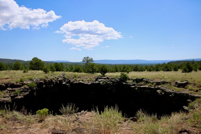
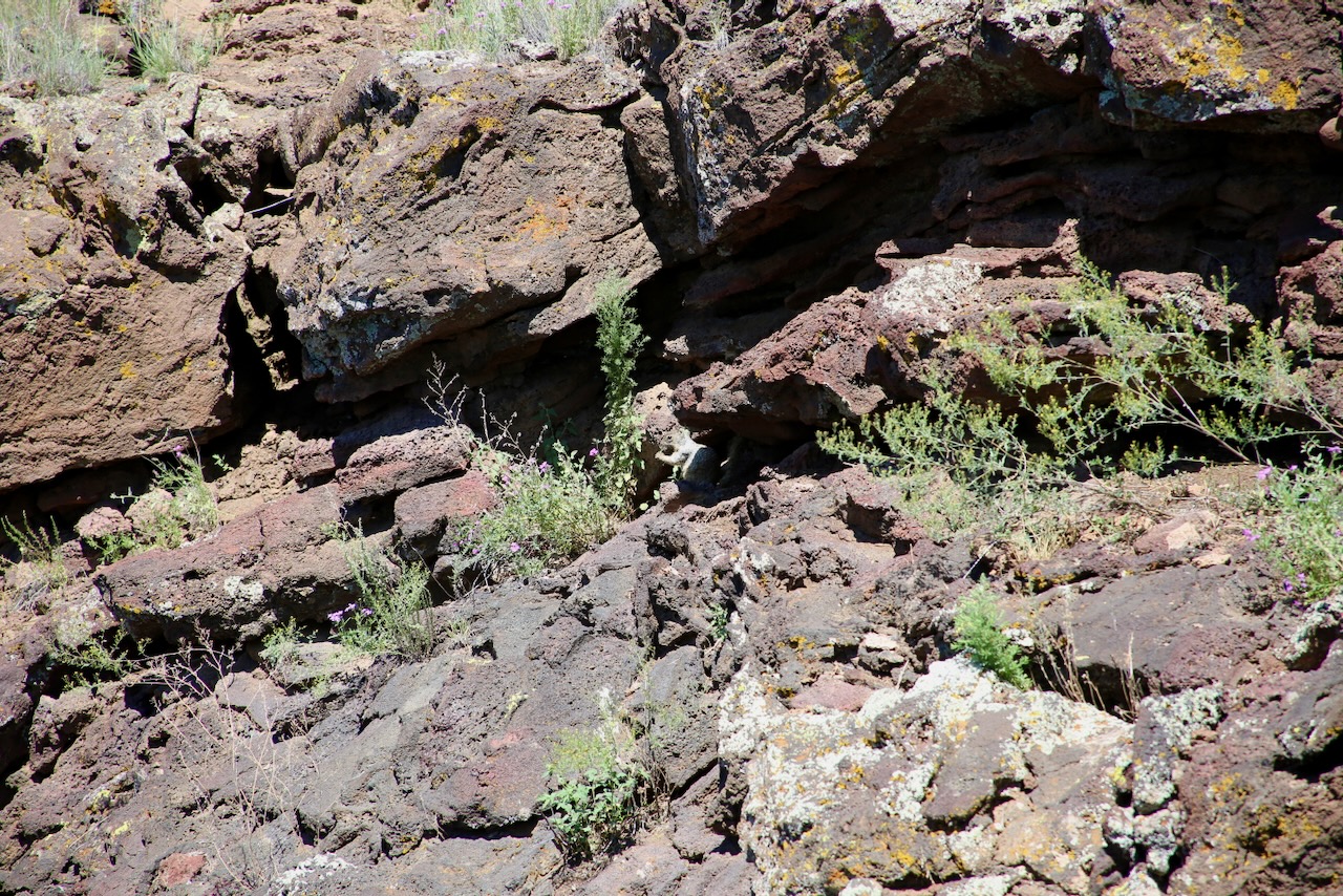
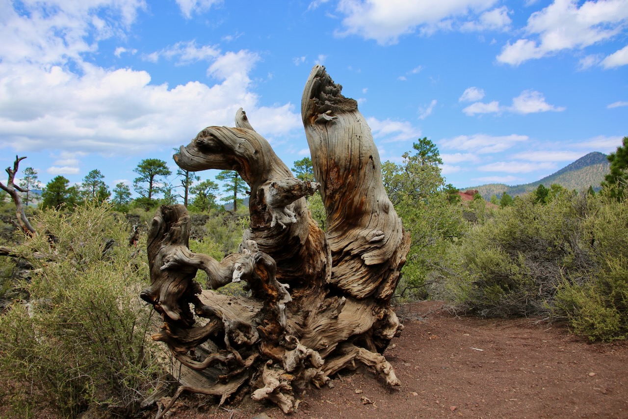
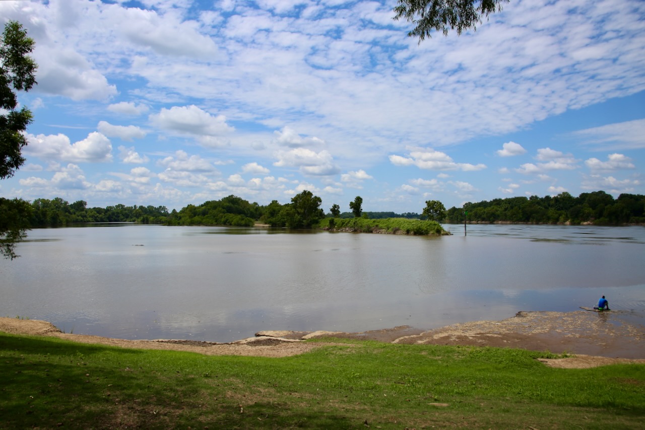
I drove over a hundred miles east and stopped at Lake Eufaula State Park, off the 150-S, and walked to the water’s edge. There, I see a raft of whirligig beetles, the “bumper cars of the beetle world,” just paused on the calm surface since their eyes allow them to see simultaneously above and below the water. If frightened, they will swim in rapid, tight circles or dive beneath the surface. Nearby is the short Crazy Snake Trail that I only accomplished part of before running out. I was walking amongst nature, while some flies were practicing for Nascar around my spider web-covered body, when I got bitten by one mosquito. That’s all it took for me to want to appreciate this environment from a distance.

The webs, once seen in the sun, look like little spider apartments all crammed together at different angles, letting no flying creatures, except the ones annoying me, get by. This trail was named in honor of Chitto Harjo, who organized resistance against the Dawes Act, which divided the Muscogee’s land into 160-acre allotments, leaving surplus land for white settlers. Each Muscogee community had communally owned crop land that any able-bodied member helped with, or they were fined or forced to leave the village. The chief once said he “did not mind so much playing the white man’s game if only the white man would not make all the rules, [that he changed constantly].

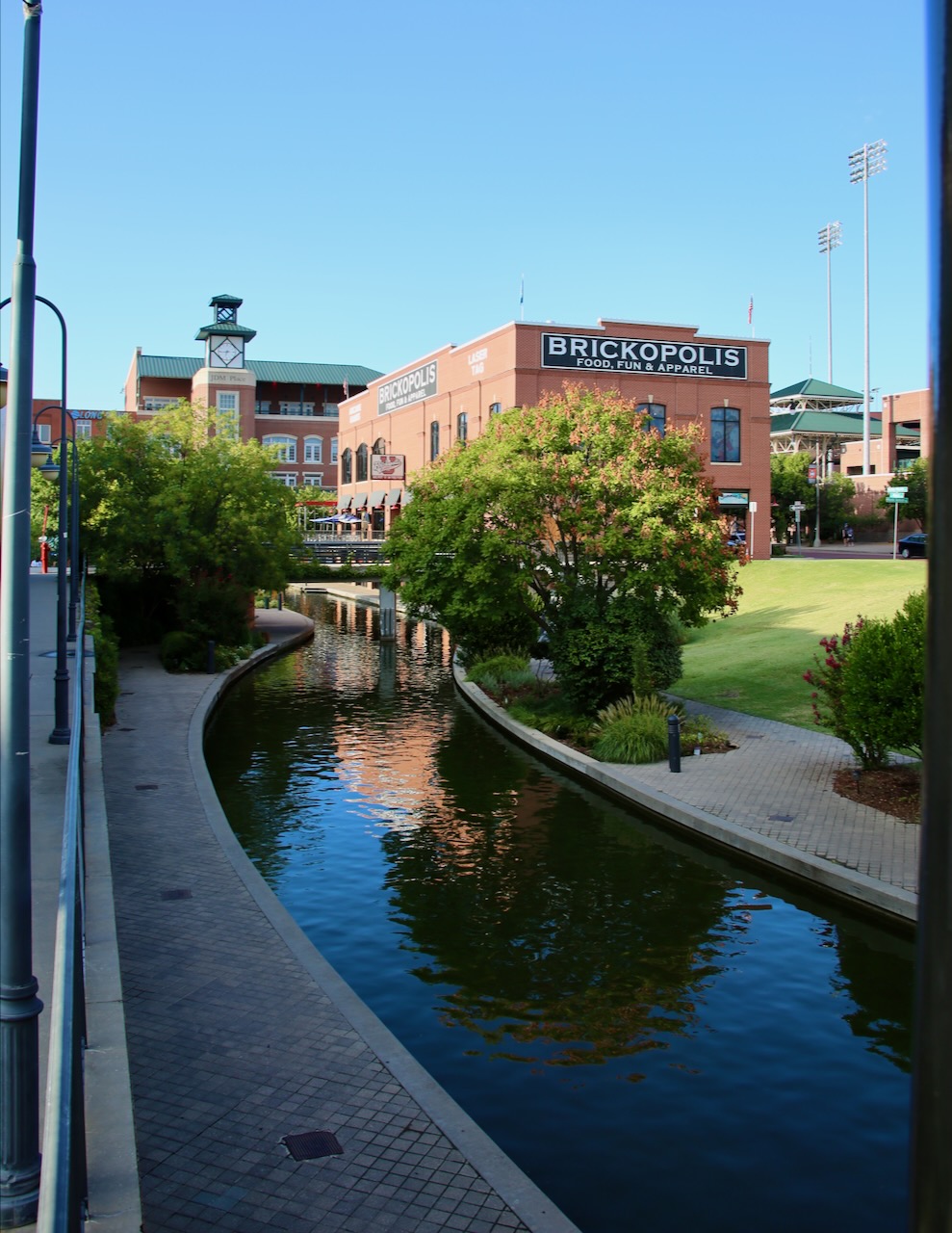
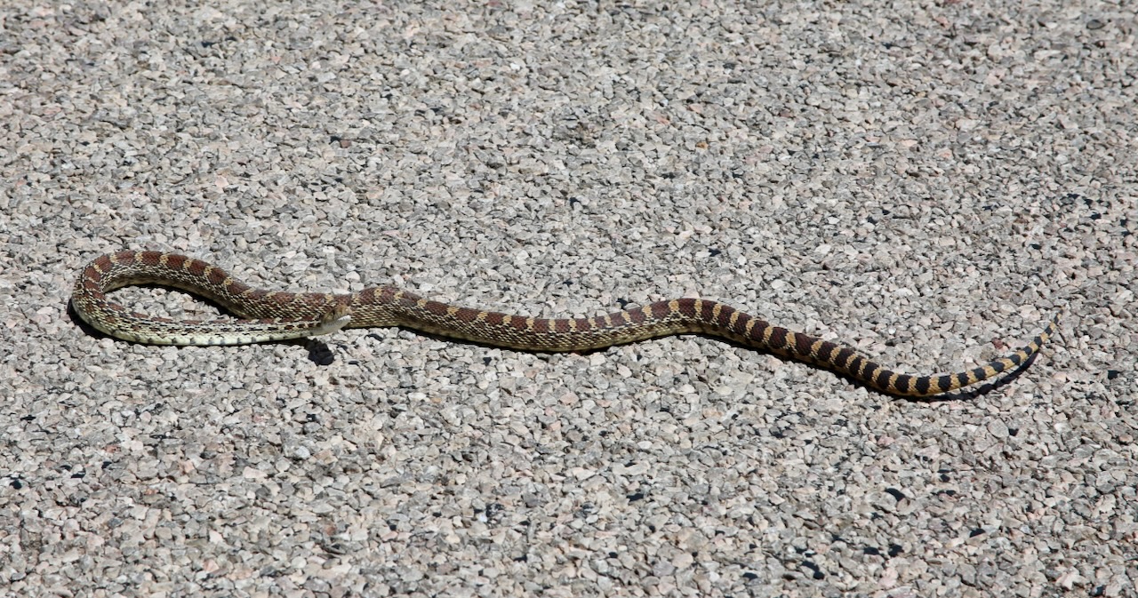
I had already passed the campsite with a shower, so I stopped at the Flying J instead. I helped another box turtle out of the road so it wouldn’t end up like the only armadillo I’ve seen on this trip. The attendant was sweet and helpful, and now I’m clean. I was craving oatmeal or spinach, and wouldn’t luck have it that the truck stop offers maple oatmeal and biscuits with sausage gravy until 10 am. They were a few minutes late, switching to the lunch soups. This snack would keep me going until I reached the Bricktown Brewery in Fort Smith, AR. This is one of their 14 locations in five states, including Texas, Kansas, Oklahoma, and Missouri.

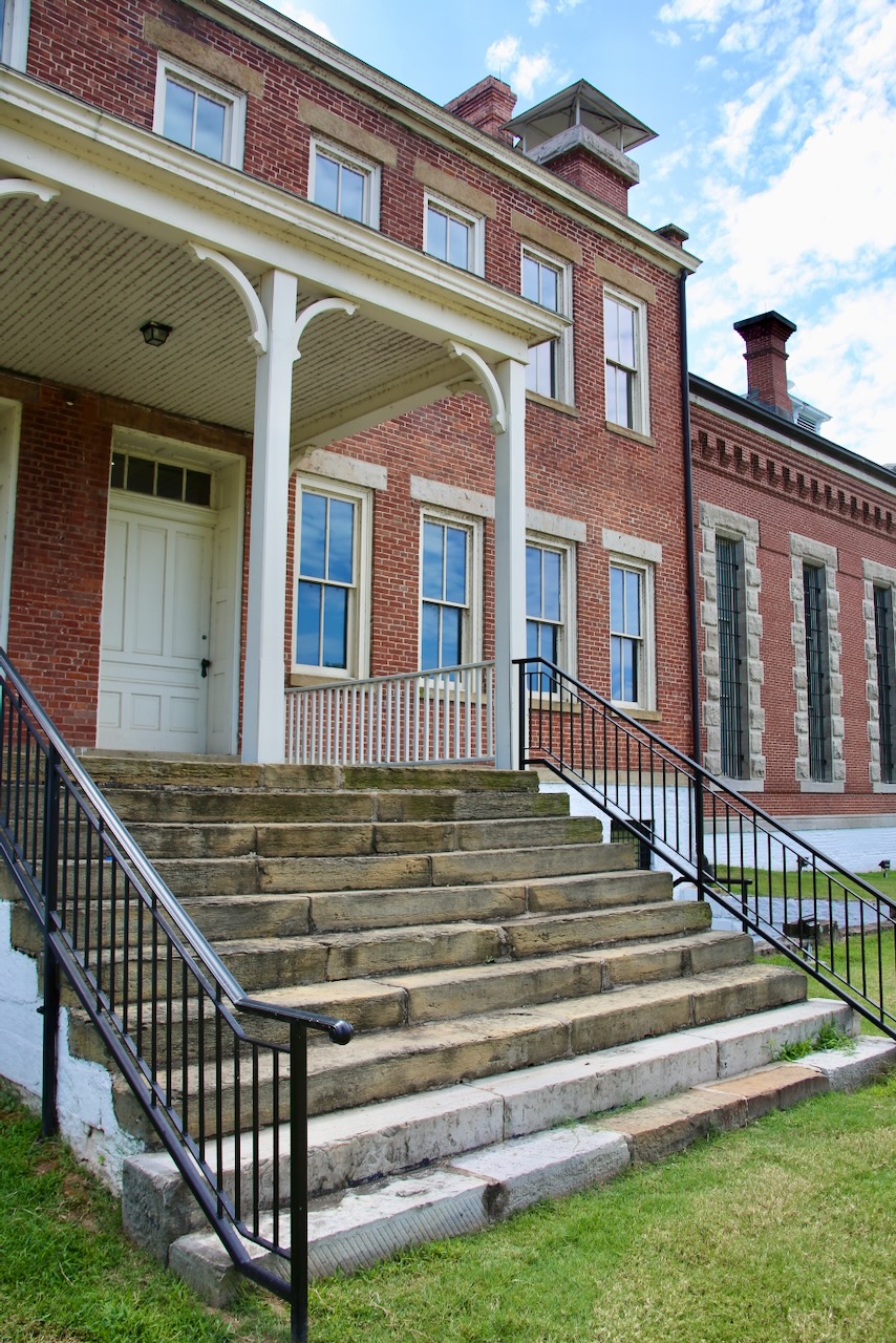
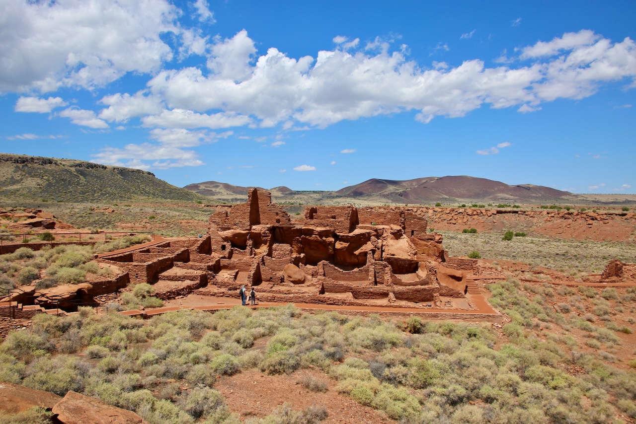
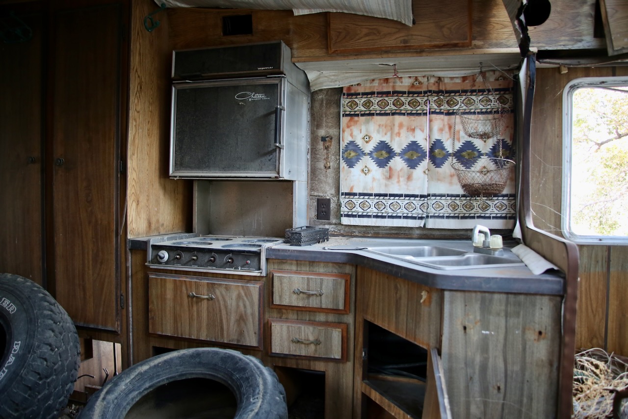
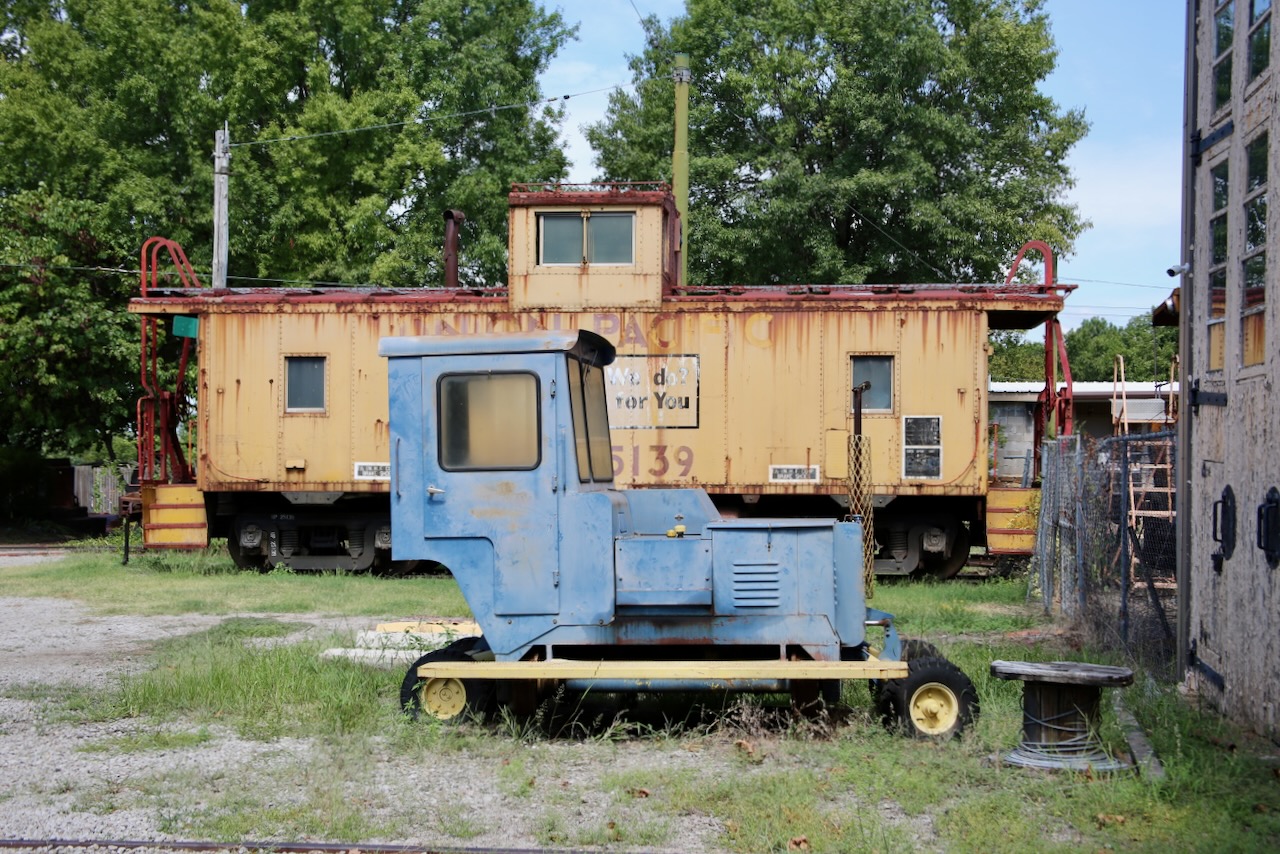
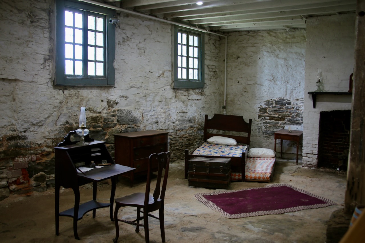
I visit the Fort Smith Trolley Museum, with a structure built over part of the original tracks. I’m allowed to walk onto a trolley and explore the tools, photos, and license plates also on display. There are a few more in the yard, but I’m soon on my way to the Fort Smith NHS. In the federal court building basement, groups of 30 to 50 accused and convicted men sat unbathed with their slop buckets. The guards filled the ceiling space with sawdust to keep the stench from wafting into the courtroom and offices above. The women were held in the former military guardhouse. This went on for 17 years until the 1880s, when Judge Parker detested the influence that men of poor character had on the innocent.

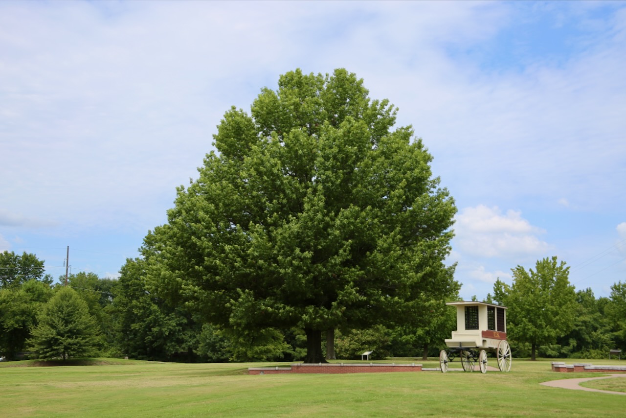
This fort was used in films: True Grit (1969 & 2010), the sequel Rooster Cogburn (1975), and Hang ‘Em High (1968) starring John Wayne (got his first Academy Award), Katharine Hepburn in the sequel, and Clint Eastwood as the star, respectively. Miss Laura’s Social Club, 1896, was turned from a house of prostitution into the city’s visitor center. It was saved from fire in 1910 and from demolition in 1963. Another historical survivor, the Frisco Locomotive #4003, cost over $50,000 when it was built in 1919. It is one of eight surviving USRA steam locomotives, having been retired in 1952 with the move to diesel. It joined the Trolley Museum in 1999.

I ordered the sampler (fried pickles, battered green beans, mini pretzels, and boneless wings) and talked with Alex from Santa Fe, who lived in Hana, Hi, and Canada, about travel and kids these days. I also spoke with Floyd, who plays the judge at the park reenactments, who left after two beers, and had the sad misfortune of sticking around to listen to Luther, a retired local who is now a foul-mouthed alcoholic. As soon as he mentioned my genitalia, I went to the bathroom and called the bartender over, who let me know it was cool to sneak out the back as my tab and tip had been covered. She had taken his keys, ordered him nachos, and called the bartender who cut him off on Friday.

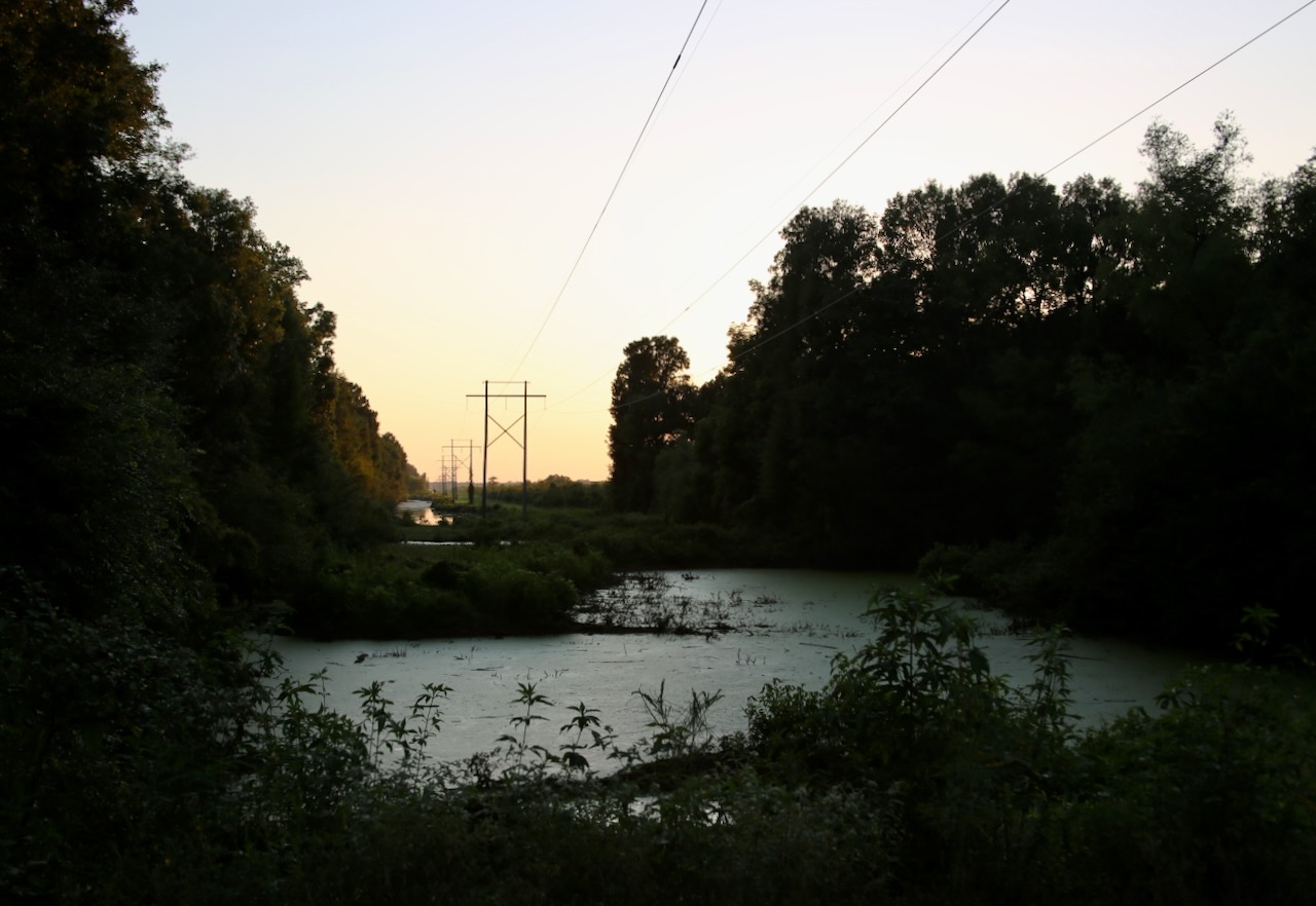
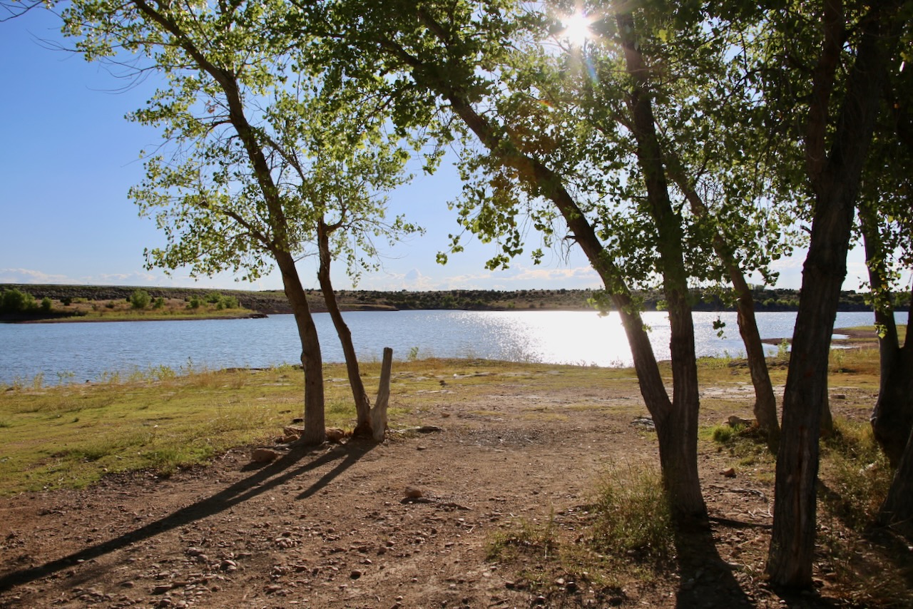
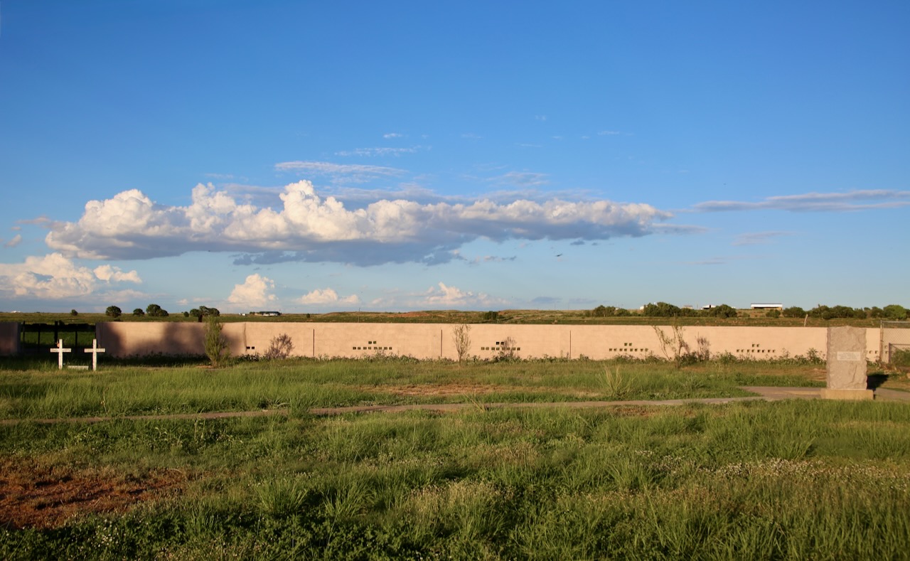
I was grateful to escape the situation without further interaction and drove straight through Little Rock and past the exit for the Camp Robinson State WMA, where I am going to camp. I turn onto the gravel road surrounded by swamp on both sides, which makes me wary of mosquitoes, and a striped horse fly lands on the car. I try the path to the right first, which takes me to a pond and over a three-mile-long bird trail, then go left and find designated camp areas along the river. This park passes under the highway, but I mostly hear the nighttime country bugs. I’m still waiting on the temperature to drop below 80°F so I can sleep, or nap, and carry on.

In the road is a shaggy mane mushroom which undergoes deliquescence (digesting itself into a black, inky liquid) within a few hours to days of maturing. Before that, it’s considered a choice edible mushroom, but I can see this one is past the eat-by date. I creep out of the park at 5mph to give the frogs time to hop across the road after I sighted my first mosquito. I had already heard two. Caleb suggests the Econo Lodge on the other side of town, so I book that, and Toni is quick to check me in. I’m greeted by two American green tree frogs on my door, along with a small grasshopper and a gray bug with long legs. Sleep will come easily after a shower.

Posted in Animals, Art, Food, Hiking, History, Media, People, Plants, Travel, Water | Tagged , , , , , | Leave a comment

Turtles and Turkeys of Texas

I’ll use the indoor facilities at one gas station and the bucket of soapy water for a clean windshield and headlights at another in Clovis. I’m greeted by some nice older country guys and walk by the murals of Lincoln-Jackson School under the guidance of streetlights. This school is named for the sixteenth president and for the teacher, Ida, who came from Texas in 1926, and went from teaching two African-American students to eventually 100 by the 1940s. She also taught Sunday School, opened her house for those in need, and helped launch the Federated Progressive Club.

This group was for black women who worked to improve their community through social reform, supporting libraries, and promoting conservation. The first building I see across the Texas line is a container shed of a tobacco discount shop. That’s better than what came next — a cruel, crammed cattle cage, which makes sense given I’m within a 50-mile radius of Hereford, TX — the “Beef Capital of the World” that produces over a billion pounds of meat. The city is also known as the “Town Without a Toothache” due to naturally high levels of fluoride in the water.

I passed a field of sorghum and another of cows on my way to Cadillac Ranch, a public art installation created in 1974 by the art collective Ant Farm. The ten Cadillacs from model years 1949-1963, each planted at the same angle as the Great Pyramid of Giza, were chosen to showcase the evolution of tailfins. I thought the kids were cuter than the cars, and I realized how much the adults like art, play, and self-expression, too. I wish there were more exhibits like this for those purposes. I walk through the tiny Amarillo Botanical Gardens for $5 and see a few golden pheasants.

The males are a bright rainbow of feathers, minus purple, while the females are shades of brown, blending into their environment and their chicks. There are also differential grasshoppers, American bumblebees, ringed teal ducks, leafcutter bees, painted lady butterflies, familiar bluet damselflies, Mandarin ducks, koi fish, a pair of tuxedo kittens, an American robin, and too many mosquitoes. These gardens make full use of their 4.4 acres, and I’m impressed with the abundance of lively creatures and blooming flowers.

trumpet vine, Chinese lantern, Texas Star hibiscus

I pull over when I notice an ornate box turtle in the road. Once he’s convinced I’m here to photograph his journey and make sure he crosses safely, he continues to do so. I drove to the Alibates Flint Quarries National Monument to learn about 13,000 years of people’s history with rocks in the High Plains. I was disappointed to find out I had just missed the two-hour tour by microseconds, or even ten minutes, I could’ve caught up. Well, I wasn’t sticking around for the next one. Instead, I will continue north for hiking closer to Lake Meredith.

I encounter a swallow’s mud nest, a funnel web with a waiting spider, mating Plains lubber grasshoppers, a lone gray bird grasshopper, a bright yellow two-striped grasshopper, and a posse of wild turkeys looking nefarious, in a good way. There are plenty of wind turbines and power lines, but it’s the precious trio of speed goats, aka North American pronghorn, that make me stop again. I watch them prance through the tall grass. Their hybrid horn has a bony core covered in a keratin sheath that the forward-facing prong is a part of, and sheds every year (the only horns to do so).

I see a sign for kolaches, either in Borger or Pampa, but it doesn’t matter because the place is closed. I ask across the street and get offered chicken on a stick, which makes me sad. There’s a commercial on the radio about gender nuetral bathrooms in schools concerning boycotting and hate speech. I prefer local stations that stick to fun music, but these hosts know their usual audience and will continue to update them on news that concerns their community. I drive through Mobeetie, the oldest town in the Texas Panhandle, originally a trading post in 1874.

I hang out with three horses, making use of a muddy water puddle before crossing into Oklahoma. Once across the border, I stop at White Rose Cemetery, not the one near Bartlesville, but the smaller one near Reydon that doesn’t come up on the map. I don’t have family here that I know of, but any chance to stretch my legs on a lengthy roadtrip is always welcome. London treats these sanctuaries as an opportunity to access a quiet green space. The earliest birth I can find is from 1867. It’s not far from here to the Washita Battlefield National Historic Site and Black Kettle National Grassland.

I stop at the picnic area, bypassing the viewing platform that is getting a handicap upgrade, and then talk with a ranger inside about an Indian who killed a man on purchased reservation land, which could be a federal crime, but he tells me reservations were eliminated in the state, so he could just be charged for murder. Many reservations were disestablished between 1887 and 1907 through allotment and statehood, but several in the east were never done so legally. I get to learn about historic facts and history in the making.

Either way, the ranger says it’s up to the Supreme Court now, and the verdict could get people kicked off the land. Then he tells me about a New Zealander getting reparations for the 1921 Tulsa Race Massacre, and now her granddaughter can go to college. Within a day, more than 1,000 buildings (churches, schools, and businesses) were destroyed, hundreds of people were killed (who were attempting to flee), and thousands were homeless (forced into internment-style camps for weeks) because of an escalated encounter between a Black man and a white woman.

Local officials were quick to suppress coverage; police reports disappeared, insurance companies denied claims, and survivors were threatened into silence. For decades, this horrific loss was conveniently left out of textbooks. Only in the late 90s was a committee formed to investigate the tragedy, renew public awareness, and discuss restitution for survivors and their descendants. This grassland has seen the migration of buffalo cultures, the stampede of homesteaders (against agreements made between the government and the Native Americans), the retreat of Dust Bowl farmers, and the dramatic recovery of the land since being protected.

There are clay, ornament-sized horse figurines that represent the 650 Cheyenne horses that were slaughtered by the 7th Cavalry. Community members, park visitors, and students completed the project for the 150th anniversary. There are mixed emotions on the opinion board: I would’ve shot those soldiers, too.; Why did he tell his men to rape women?; I’m sad for both. Outside is a 0.4-mile loop, the Dust and Fire Trail, to experience an overlook, a dugout home, a windmill, a wildlife pond, and a fire plot.

It’s a good thing I’m not an insect, or the assassin fly I saw might’ve ambushed me mid-air and injected venom to paralyze me and liquefy my tissues for consumption. Also on the trail are red harvester ants, which store seeds in their large mounds decorated with pebbles, but also possess one of the world’s most painful insect stings. As I witness a crowd of them moving a seed 1000 times their individual size, I quickly leave them to it. The friendliest encounter is with a pair of red-shanked grasshoppers just casually crossing the trail.

In an extremely rare sighting, I crossed paths with a pink grasshopper, not neon bright, but definitely more red than any visible green. This congenital condition of abnormal redness in an animal’s fur, plumage, or skin is called erythrism. This opportunity for an entomologist is about as common as a scuba diver spotting an albino sea turtle. I drive to Oklahoma City and walk around the Bricktown district. The state’s first craft brewery was packed, so I delayed dinner and walked along the canal, where I saw murals and signs of the city’s pride in letting settlers claim homestead on promised Indian territory.

I understand this comes from a long lineage of debaucherous ancestors and can only appreciate any improvement in a less demeaning direction. I’ve wondered further than I realize and am about to give up on finding Kitchen (not sure if Thai or Pizza) when I stumbled by a dog park on my return to the car and found Anchor Down — an F5 IPA and Impossible Burger for the win. After eating, I am escorted to my car by Hunter and her family coming back from the dog park. I listen to her describe a thing that lifts things. Well, that’s vague. I decide to stay the night here, in town, not with them.

Posted in Animals, Art, Camping, Food, Hiking, History, People, Places, Plants, Travel, Water | Tagged , , , , , , , , | Leave a comment

Navigating Monuments of New Mexico

I wake up in Gallup and take my first shower at a truck stop. Thirteen dollars gets me two towels and a washcloth with foaming soap. My notes say I detoured to El Morro National Monument, but getting off the highway ensured I had a full morning of sightseeing, not just an hour of red sandstone mesas and sagebrush between Route 66 museums and murals. It also gifted me with a foggy drive between trees and sunflowers. Arriving in the park, I will take a nap in the campground to counterbalance the inadequate sleep I’ve had over the last few nights, as travel makes me restless with a constant desire.

Refreshed, I go for a hike and listen to the cliff swallows as they whistle on their descent. There are Indian paintbrush (bright red-orange), Rocky Mountain bee plant (shades of purple), blue gilia (pale blue), and a blue-tailed skink (a vivid electric blue) that add color to my walk that is otherwise varying hues of rock and stone with a tinge of tree thrown in to complete the variegated scene. I hurried past the group of loud children so that I could see and hear the animals before they scared them away on the Headland Trail, which includes the Inscription Rock Trail, that climbs to the top of the sandstone bluff past the Atsinna Pueblo, an ancestral dwelling.

I only saw a subunit of ants as I admired the surface they navigated using their alternating tripod gait, but was grateful to do so in the sounds of nature, not obnoxious offspring, though I’d be thrilled to meet any untrained calf, cub, pup, or kit that doesn’t know any better yet. I see some spotted beebalm (aka dotted horsemint), Hooker’s evening primrose (named after a botanist), winterfat (used by the Navajo to relieve the expectorating (coughing up) of blood), common mullein (known for its fuzzy foliage), and some ragwort (from the possibly toxic family).

Ice Cave and Bandera Volcano are only a half mile off my route, so of course I stop by, but for some reason choose to leave and not pay the $12 (now $14) to walk “The Land of Fire and Ice” on the Continental Divide. The volcano is one of the best examples of an erupted cinder cone in the continental US, along with its 23-mile collapsed lava tube. The cave is 31°F year-round with 20-foot thick ice that has been accumulating for over 3400 years. If I find myself this way again, I will definitely explore these treasures on foot, while wearing good shoes.

I might do just as well at El Malpais National Monument by seeing half a percent of the park’s acreage, over 114,000 acres, about 180 square miles. In the El Calderon Area, there are lizards, squirrels, and butterflies to watch sunbathe, feast, and flitter about. Just outside the park is a gopher snake, commonly confused for a rattlesnake because of its color pattern. I’m so glad to see it alive, especially in the middle of a lane where it can warm up. If I had a trekking pole or a hard floor mat, I could encourage it to the lighter paved gravel of the shoulder.

I buy bat stickers at the visitor center located on the far southside of Grants, a city of 9,000 people. I take Exit 114, near Casa Blanca, from Hwy 40 for frybread. I wait while three guys get their tacos made. They’re on their way home to Phoenix from a rock concert in Denver, so they can watch the band twice. I get a plain and a cinnamon. Dad calls to let me know he’s going to La Jolla for two weeks to housesit and that he could’ve met me in Flagstaff, roughly a two-hour drive for him. That would’ve been a nice visit, so I should at least extend an invite next time.

I’m not sure which “peak” I was referring to in a stretch of land covered in cinder cones, isolated mesas, broad ridges, and volcanic hills, but the access point is on private property, so I will be skipping that summit. I should be more detailed in my notes, as I find it random to talk about my grades in the middle of a trip, but it makes sense since I left before the professor gave me a C in chemistry. I thought I might be referring to passing a semi hauling explosive solids, which are Class 1, Compatibility Group C. I’ll stop in Santa Rosa for gas.

While at the pump, I talk with John about You, a show about an obsessive man; his dog, a fat chihuahua that reminds me of my childhood pug, Peanut; and his kid, who has lived in San Francisco and Brooklyn. Fog grass refers to a common velvet grass, not the fog on the ground, that appears to be held by microscopic blade hands, on the 203, a ten-mile-long state road, on the way to Lake Sumner. The sight of water is welcome after a day of looking at dry rocks. I enjoy the peace for a bit, but not the trash, so I drive on to find Billy the Kid’s grave in Old Fort Sumner Cemetery.

gopher snake

Billy’s tombstone was stolen in 1951 and recovered in Granbury, TX. It was stolen again in 1981 and was found in Huntington Beach, CA, four days later. Since its return, it has sat in iron shackles in a cage with his pals, Tom O’Folliard and Charlie Bowdre — talk about life behind bars. This site has a more terrible history. Between 1863 and 1866, the US Government forced 500 Mescalero Apaches and 10,000 Navajos onto the Bosque Redondo Indian Reservation. After harsh conditions led to rampant disease and hundreds of deaths, the Mescalero Apaches escaped in 1865.

Lake Sumner

The Navajos were released in 1868 after signing a treaty to return home to the Four Corners region. After this disastrous failure, Lucien Bonaparte Maxwell bought the old post in 1871 and transformed the area into a farm and ranch community of 200 people. He’s known for owning the largest single tract of land (over 1.7 million acres) by one individual in the US in 1864. He used the fur of beavers, otters, martens, coyotes, and bobcats, which dried out wetlands and reduced habitats for birds and fish, to fund the building of the Texas Pacific Railroad.

Old Fort Sumner Cemetery

I’ll make it to Clovis, just ten miles from the Texas border, after waking up 23 miles into New Mexico. I covered over 420 miles, and as the light disappears beyond the horizon and the bright headlights of oncoming traffic cause me to slow down, I will look for a place to sleep. Tonight’s campsite, like last night’s, will be near an active railroad, which explains the need for a nap to compensate for the sleep interruptions. The difference is that Gallup might have a train every half hour, while Clovis can average every hour or more.

Posted in Animals, Camping, Hiking, History, People, Plants, Travel, Water | Tagged , , , , , , , | Leave a comment

A Day Across Arizona

I awoke near Willow Beach, tossing and turning, and will continue to do so until the sky starts to lighten before 5am. I was sweaty when I went to sleep, but the temperature finally dropped from 100° to 75° F. I wipe the crusties from my eyes and look forward to brushing my teeth and changing my undies. I drove for hours, eventually reaching the forests approaching Flagstaff, only to miss the turn for Humphrey’s Peak, the state’s highest point at over 12,600 ft. From that vantage point, one can see the Grand Canyon, but to get there takes five to eight hours to ascend over 3,000 ft.

I had already decided I wasn’t staying the night, and missing the turn convinced me it wasn’t worth seeing if I wasn’t going to make the summit, especially having to drive an hour down a dirt road to reach the trailhead. I’ll continue on to Sunset Crater Volcano National Monument. I’ll walk the Lava Flow Trail and two others amongst the trees (paper birch, bristlecone pine, quaking aspen, ponderosa pine), lizards (short-horned, whiptail, western fence), plants (Apache plume, white chenille, rabbitbrush), green lichen, and lava rock.

I witness people who can’t stay on the trail or keep themselves from collecting a souvenir because they think they’re the only one crushing soil and vegetation and stealing the microhabitats that rocks, logs, and shells provide. These tiny aggressions (anthropogenic disruptions) add up with a million visitors who are tempted to do the same, leading to increased erosion and habitat loss. I’m told I need to come from a place of curiousity (which I do, but don’t word it that way) rather than judgment, so rather than tell these people how they’re messing up, perhaps I should ask why they’re doing it.

I walk around Wupatki National Monument making friends with a Northern Flicker bird (a member of the woodpecker family), learning that rangers lived in a reconstructed pueblo for $10 a month (those walls and roofs were removed in the 1950s), and continually pointing out where a running child was to her mom as the temperature proceeded to climb. On my drive to Old Caves Crater, I will pass a dust devil while listening to songs about ice cream and kitchen tables. There are remains here of the Sinagua, now known as the Hopi and Havasupai, who moved away from dwindling water sources.

I enjoy looking at things I would never buy, partly a personality quirk and often times the prohibitive cost of someone’s time, so I stopped at the Painted Desert Indian Center to see what treasures were inside. There is mostly stones in all their beautiful forms polished into sun catchers and coffee tables. There are also t-shirts, windchimes, jewelry, woven blankets, and paintings among the display. This shop is conveniently located just ten minutes from the entrance of the Petrified Forest National Park, which is still beautiful on my fourth visit.

My first time to this park was with Dad in June 2004, when I was 17 and preparing to join the Navy. Our second trip was in March 2013, while Caleb was away for work. I only found one stamp in one of three of Caleb and I’s national park passport books, so without digging through more photos, I’m not sure when we went, but I’m glad we did. The park is larger than I remember, but it never fails to impress from the smallest piece to the larger piles of permineralized wood. I’ll explore the Puerco Pueblo, inhabited between AD 1250 and 1380, and study the petroglyphs that have outlasted my grade-school drawings.

While out and about, I will see an Eastern collared lizard, such a contrast of blue-green against shades of red and brown. I talk with Ginger and Val from New York City who are exploring Arizona parks after visiting a sister in Phoenix. I converse with Dominique, born and raised in Winslow; and a guy on his way to Albuquerque tonight about his travels in South America and knowledge of local history. The sun is under the horizon when I reach New Mexico, and I stop in Gallup for the night.

Posted in Animals, Art, Camping, Family, Media, People, Photography, Plants, Travel | Tagged , , , , , , , | Leave a comment

Dunes, Meadows, Erotica

I skipped a morning walk at Fossil Falls so I could check out abandoned property in 59° F instead. I hadn’t planned it that way, but the contrast of a decrepit building and contemporary vehicles drew my attention to chipped paint, broken glass, and rusted metal. A tarp and a trash bag would go a long way in repairing this place, and if I had nowhere else to be, I could claim squatter’s rights. I stop along the 190 E and close my eyes in an attempt to take in the silence more efficiently. There is no sound for miles, and this place definitely lets the mind unwind and reset.

As a child, I dreamed of the chaos of suburbia (minivan packed with kids) and everything. As an adult, I chase the tranquility of silence, solitude, and stars, recalling the halcyon days of the mid-90s when staring at clouds and hiding in trees was all the rage. A section of Death Valley is cordoned off by the military. As the park is roughly 3.4 million acres, it’s a small-scale operation, or one that’s taking advantage of the space and seclusion that this desert provides. I was curious, but I prefer to snoop in gun-free zones.

Seeing something again through someone else’s eyes, like a tourist seeing this valley for the first time, can make it feel new again. A car drives by with the top down and their GoPro out. The civil engineer and road builder of the wavy downhill route, which lets me cruise at 80mph, definitely, had a driver like me in mind. I talked with Robin in the Stovepipe gift shop, while she unfolded gemstone bonsai trees, about her kids going back to school four days a week. This is a rapidly growing trend, including some 650 school districts, to help with budget constraints, attendance improvements, and flexibility for families.

Then I get to overhear a feisty Filipina give her friend who wants to go to Japan a hard time for not understanding her accent when she asked if there was a flag at the ranger station. I stop at the Mesquite Flat Sand Dunes, and if I were with someone, I would most likely see the hills, trees, and mountain range in the background. Being alone, I focus on the shadows, burrows, aeolian ripples, and saltation before being interrupted by a homeless Bermudian punk and his lady Indiana Jones of a partner’s photo shoot.

Continuing east is Zabriskie Point, the highest mountain in the Panamint Range, rising over 11,000 ft. Some of the rocks look like cake slices sliding to the floor as a toddler carries a plate at a 45° angle. Once in Nevada, I walk the mile and a half of boardwalks at the Ash Meadows National Wildlife Refuge, named after the galleries of ash trees described in expedition notes from 1893. This park is designated a Ramsar site — any wetland of international importance under the Convention signed in Iran in 1971, and now includes over 2,100 sites worldwide.

In an effort to protect and let thrive the endemic and native plant and animal life here, the park has removed 2,600 acres of tamarisk (a salt cedar) that drinks 200 gallons a day, drops salty leaves, and is fire-prone. Volunteers have removed cattails that clog channels, cool the water, and prevent healthy algae growth. For the same purpose, over 65 miles of fence have been removed to allow the Bighorn sheep better access to springs and an open environment. The Federal Duck Stamp is the fundraiser that feeds the hunter and provides further protection fees.

Along the boardwalk, I see Eastern Pondhawk dragonflies and mountain pink flowers. I listen to the wind on top of the tall grass and the crickets hidden below. The entrance sign claims this is “where the desert springs to life,” and that’s accurate. At first glance, this park is very much a sparse desert. The closer to the greenery you get, the more the water sparkles, especially the crystal clear turquoise spring pool. This critical habitat will send me to Devils Hole in search of the endangered pupfish, which have yet to be found anywhere else.

Some guys tried telling me there was nothing to see, but as usual, I’m glad I didn’t listen to them. The hole might be small, but it’s important and beautiful. It is connected to a large cave system that is sensitive to the world’s earthquakes, which slosh water on the cave walls and cause the water levels to fluctuate. This life-sustaining “fossil water” is increasingly being used for farming and industry as towns grow to the detriment of the pupfish who require their water be 91°F with low oxygen levels. Funnels are hanging over the water’s surface to measure the windblown terrestrial material that finds its way into the depths of the earth.

Another boardwalk delivers me past fourwing saltbush (used in the nixtamalization of maize), a honey bee (with static electricity gained by flying that attracts pollen), a Zebra-tailed lizard (highly tolerant of extreme heat by alternating legs), and possibly some Amargosa pupfish (the most inbred species due to their very low numbers). I describe the low mountain range as a scoopneck as I approach Las Vegas where I will stop at the Erotic Heritage Museum to watch porn and how a body mold gets made. That wasn’t my intent and I had no idea what to expect on the exhibits or the size of the displays.

The front is inviting in a discount dentist’s office kind of way, but the warehouse of politics is less so. I’m immediately greeted with a mannequin of Donald Trump, a cardboard cutout of Hillary Clinton, a bloody victim of Countess Báthory, and a giant swastika. During the Weimar Republic, Magnus Hirschfeld (known as the Einstein of sex) was busy becoming the inventor of marriage counseling, gay liberation, artificial insemination, surgical gender reassignment, and modern sex therapy. He campaigned for the decriminalization of abortion and against policies that banned female teachers and civil servants from marrying or having children.

His institute built a unique library on same-sex love and eroticism that was later burned after the building was attacked, along with over 5000 pieces of art in the streets of the Opernplatz by the German Student Union in 1933. Back in 1873, the Comstock Act (illegal to mail contraceptives and obscene materials) was passed and 24 states enacted similar prohibitions. In 1973, Roe v. Wade made abortion legal nationwide, which put this act to disuse until the overturning in 2022 brought up the argument again of mailing abortion medications and materials.

The history panels cover more than just sex, like reminding me that until 1971 people had to be 21 years old to vote in federal elections. The 26th Amendment changed that for state and local voting too. This was also the same year that the last cigarette ad aired on TV and radio. 1998 took care of billboard ads, event sponsorships, and the use of cartoon characters. In 2009 restricted branded merchandise, free samples, and flavored cigarettes (except menthol and vaping). And this year, the federal government is likely to follow Massachusetts’ example of raising the minimum tobacco sales age to 21.

History is bound to repeat itself and the older I get I realize this doesn’t just refer to the comeback of bellbottom jeans to the next generation but to what defines an adult, a human worth rights, and what constitutes attractive vs undesirable through branches on society’s family tree (which goes back further than great-grandma’s secret recipe for a delicious disaster). I appreciate the signs letting visitors know that the dolls can not give consent, so please don’t touch them. I buy a shirt that says, “Please do not grope, lick, fondle, or f**k the exhibits without consent…”

My next stop is about 40 miles southeast on the Nevada Arizona border. I walk across the Mike O’Callaghan–Pat Tillman Memorial Bridge, a testament to the stability of steel and concrete and the efficiency of pre-built components made off-site. The new exhibits and museum are closed when I arrive, but the view of the Hoover Dam this bypass bridge provides feels like the human equivalent of a drone’s-eye view. The sun is quickly setting as I finish my exploration of man’s ability to build more things and carve nature to his needs. Thirty minutes later, I’m ready to pass out near Willow Beach, having driven over 300 miles.

Posted in Art, Books, Camping, Government, History, Places, Travel, Water | Tagged , , , , , , , , | Leave a comment