entering California via I-10
This morning came sooner than I thought. The alarm went off at 5:15 and we were showered by 5:30. We cleaned out the car and then repacked it, took a group photo, and were pulling away at 6am with the temperature only 74 degrees. We will escape the city before the heat arrives. We got gas for the car and then Caleb took the wheel so I could write notes and then read to him – if Sparky would quit farting so we can roll the windows up while driving on the highway.
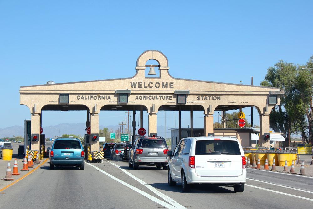
We reach the California border at 8:30 – on a route we’ve never been on together, and roll through Chiriaco Summit just long enough to get pictures of a corroded car at a rusted gas pump, the General Patton Memorial Museum, and the military tanks surrounded by other unused vehicles in a barb-wire compound. I would’ve loved to spend more time, but emotions are high and my anxiety level peaked. I wanted the doggy drop off to run smoothly before I enjoyed the rest of my day. We passed a field of wind turbines at 10:24.
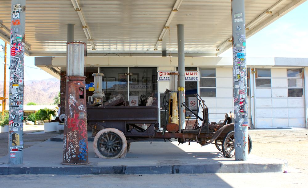
Chiriaco Summit
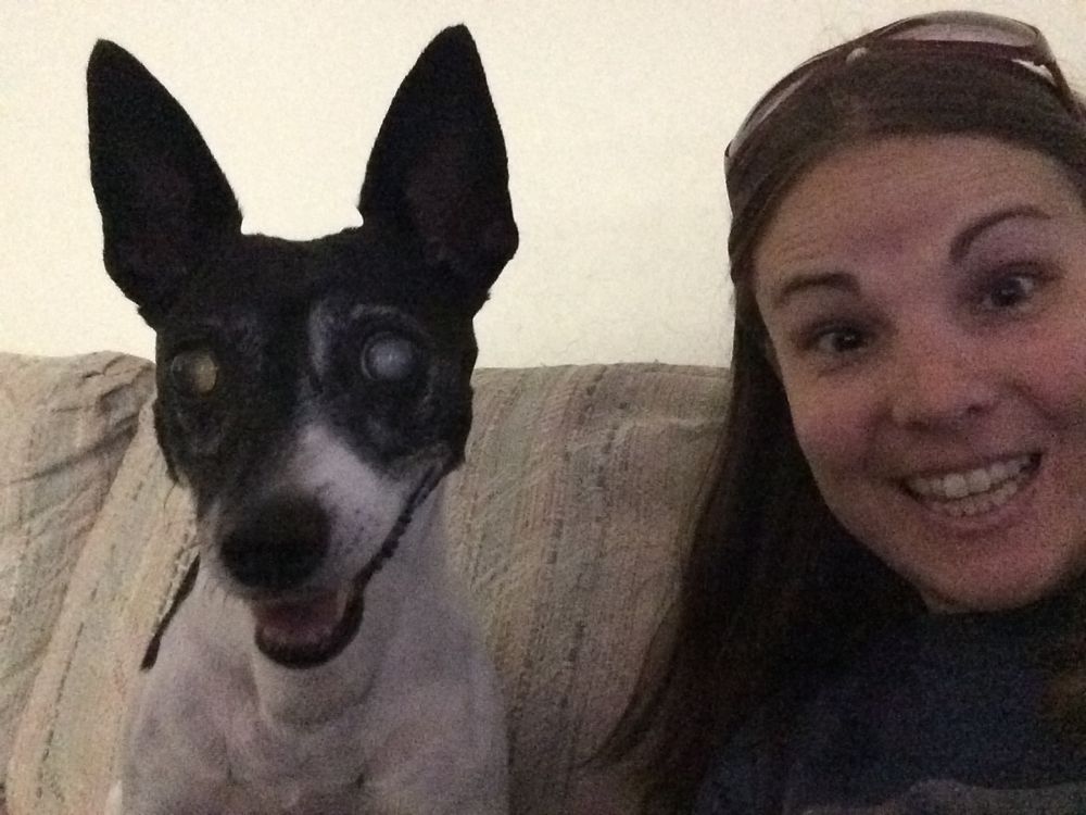
I read to Caleb until we get near the Los Angeles city limits. I give him directions to the house that will be keeping our dogs until driving them 40 minutes to the airport on Tuesday, two days from now. We arrive at 12:30pm and tell the guy that the dogs need to be separated from all other animals regardless of anything else – playtime, adequate watering. We opened the box that contained their travel crates, assembly required, with bowls included and were told that absorbable material would be provided for comfort and liquid absorption. Sparky finds a ball and Piggy finds the water bowl. I say good-bye.
I felt terrible leaving as I heard Sparky crying at missing me. They may not eat and may go a bit crazy, but as long as they make it in one piece I will be super happy at their arrival in Bahrain. I will miss them terribly while we’re apart. Caleb must’ve seen the tears in my eyes and put on the comedian channel which helped to cheer me up. We drove out-of-the-way from our Highway 5 south route to Dan’s to go to Happy Cow Car Wash – complete with laser light show – at 2:30.

sunset in Imperial Beach
Part of me was happy to be doing something new and the other half of me was sad that the dogs weren’t there to bark at the water as it hit the windows. We pulled up, paid, changed the radio station as directed, and pulled forward. We were surrounded by flashy lights, soap suds, and a projected show in front of us. I think it was dancing cows, but it was hard to see while the windshield was covered in multicoloured foamy bubbles. We got to use the rest of the time on a dryer hose, because the guy beside us didn’t need it. I sucked out dog hair, food crumbs, and dried leaves while Caleb moved the seats and mats around.
I called Dan to let him know we were on our way. We stopped by Harper’s in Chula Vista and got my $30 back for an unsatisfied clarinet cleaning/repair job. I’m grateful to Steve for his dedication to customer satisfaction. I will use that money to pay for long-term parking at the airport and gas money for Dan for delivering our car. We pull up in Dan’s driveway at 4pm. He signed the P.O.A. and took our spare change – $2.41 with no quarters. Yoli, his generous wife, offered me some flan and I got Caleb to eat some too since it was so delicious.

saying good-bye to Piggy
Caleb dropped me off at Betty’s with the dried sage we got from his dad. Like other things that we pay a lot for down here – morels and asparagus – they grow wild in Montana and are free if you can find them. We went to Sea 180 Tavern at 5pm for a beer and hummus with pita served on a wooden board. We sat at a table with a fire, in the sun, looking at the ocean through glass – soon to have a broken piece from kids playing on the sand below. We walked back to Betty’s so she could gift me with a flowery headband – something to remember her and our days in southern California together – it’s perfect.
Caleb picked me up at 6:50, and we stopped by Bibi’s to hug goodbye to her and Dan, and then made our way to the airport after stopping at Don Panchos for a California burrito – Caleb’s last for the next two years. We parked in spot 138 with 74,500 miles on the odometer and were standing in the parking lot looking lost when the employee shuttle driver asked where we were going and gave us a ride to Terminal 1. We needed Terminal 2 so we walked there and picked up our tickets, but couldn’t check-in our bags yet – good thing we didn’t bring them with us, but left them in the car.
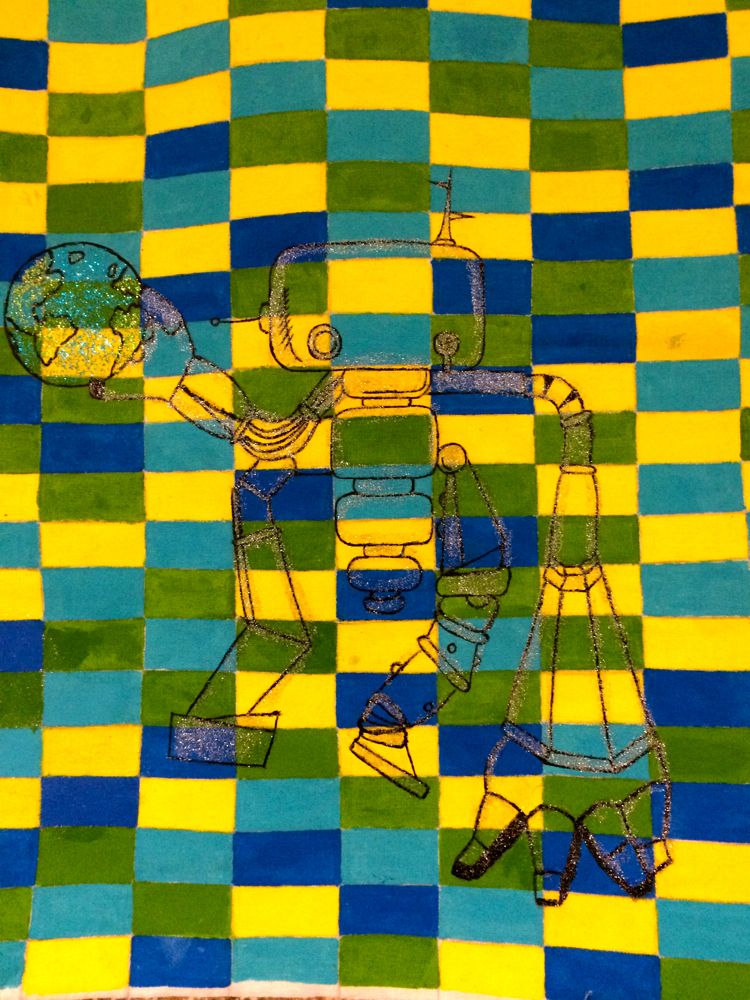
airport art – The World Through the Tapestry of Our Lenses
We asked at the USO to make sure they would be open. We went to the car to grab the bags and the driver that delivered us to our car would be the same one to take us back to the airport. We walked to the USO, checked in, and I got offered a couch for the night. They will lock us in at midnight and then we have two exit doors to choose from when we wake at 4am. I went to the lounge for a coffee while Caleb shaved his beard and found Father’s Day cards and filled one out for mine and used some space to write Caroline too – not that she’s a dad, but I appreciate her just the same.
I grabbed some snacks for breakfast – crunchy stuff in a bag and a muffin – when the USO won’t be open and then chatted with the volunteer about our prior service – he worked on helicopters in the army and then was a narcotic officer and worked in a jail for seven years. Caleb got done ridding himself of facial hair and then filled out a card too. Part of me knows I need to sleep, it’s after 11:15pm, but the other part is excited about the adventure I am beginning.