The Weekend After Thanksgiving

FRIDAY
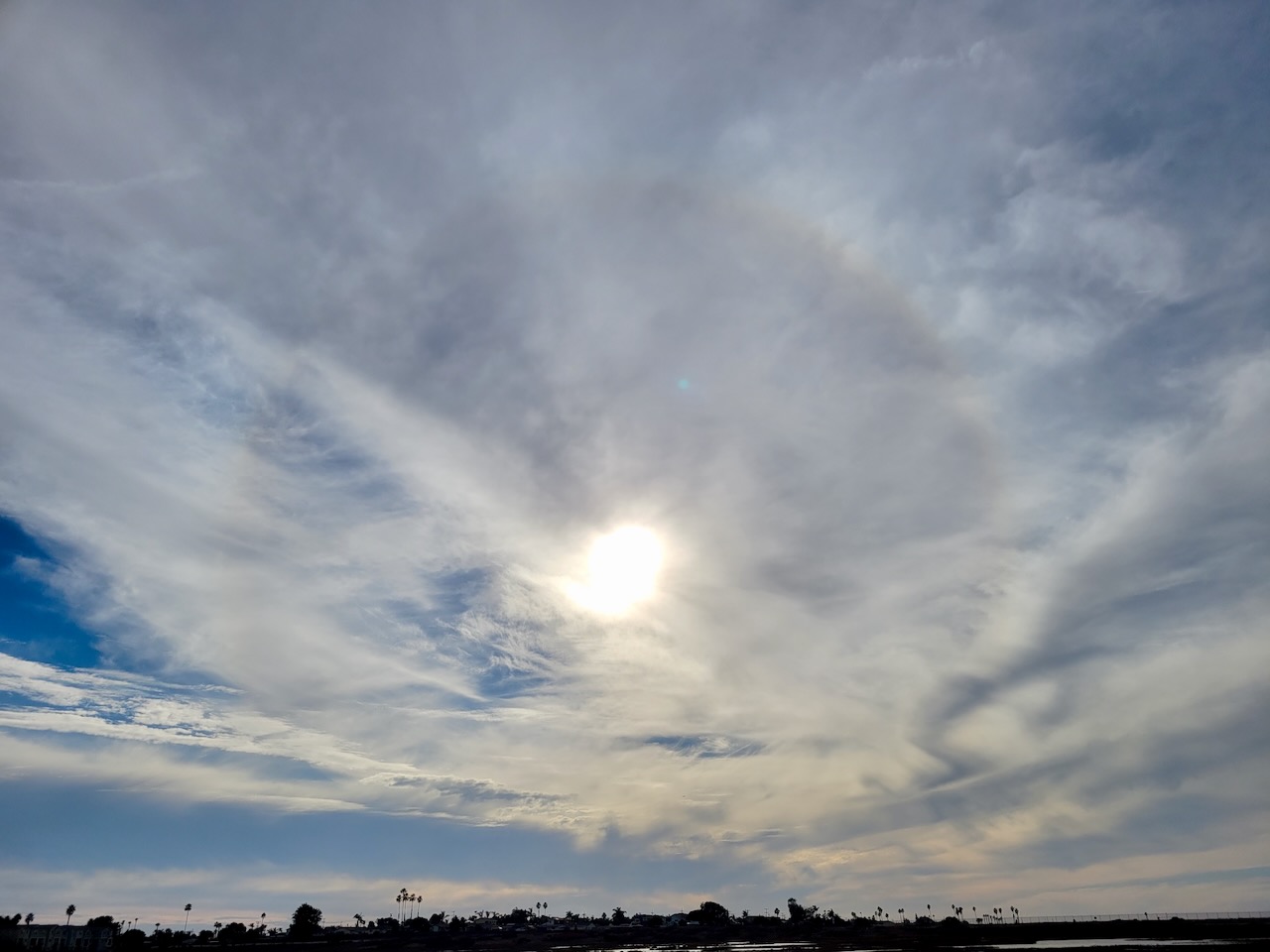
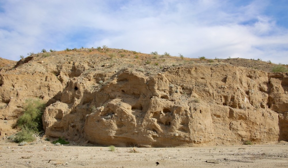
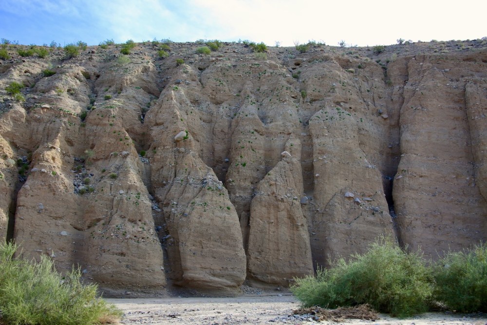
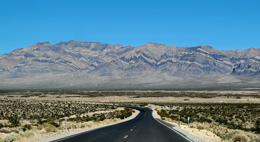
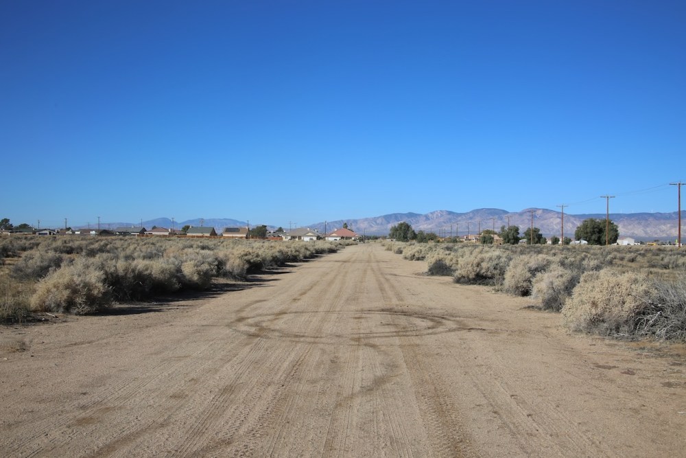
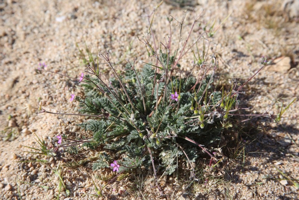
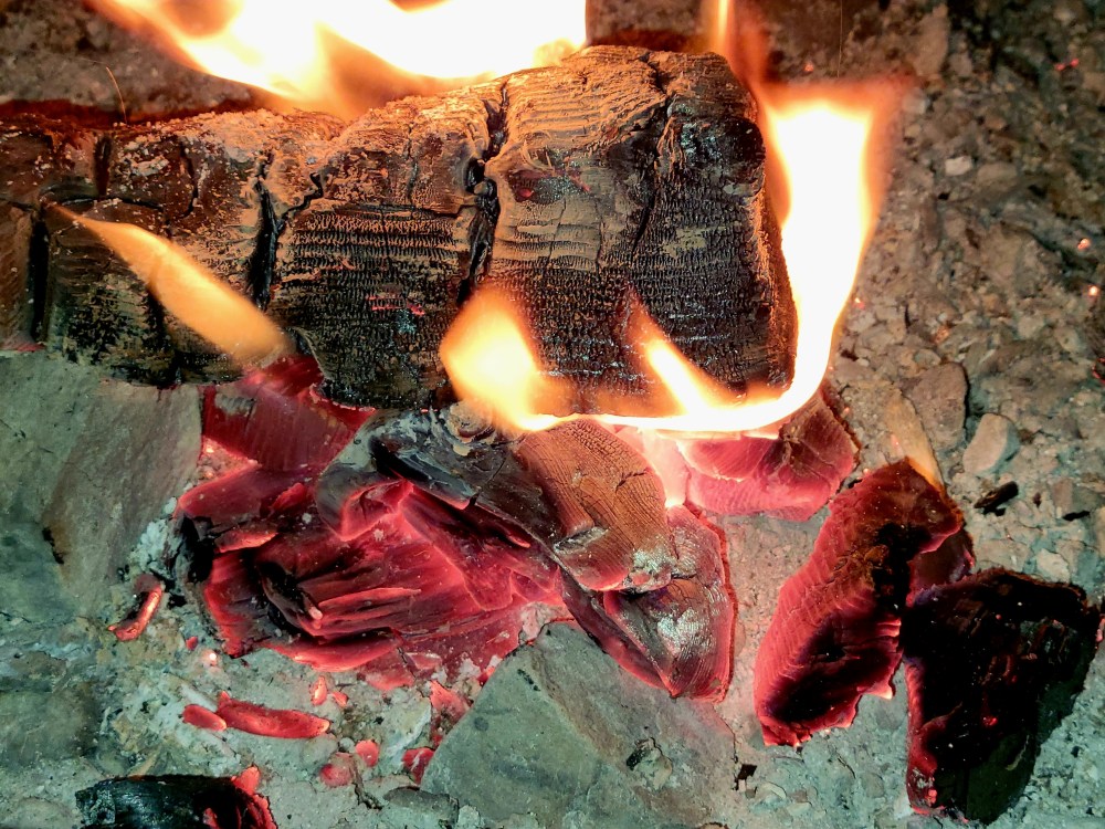
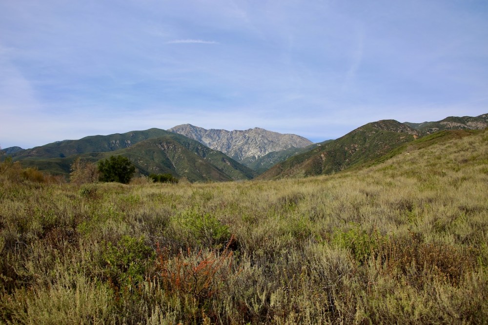
I start to pack the car upon waking and eat a biscuit from yesterday’s feast on the way to Cibbets Flat. It starts to rain. I eat a grapefruit in the driver’s seat while Caleb sets up the tent. My headache from Tuesday is back, but we will walk from camp to the turn before the bridge and agree that 46°F in wet and windy conditions is cold. We say hi to two weiner dogs that approached us on the road. Back at the car, we debate sticking out the weather or returning next weekend.

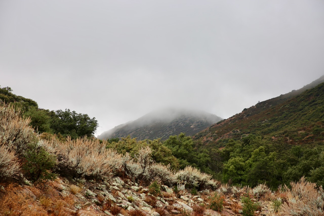
Caleb breaks down the tent as the decision to not stay and hike, read under a tree, or attempt a fire for s’mores. We can save the wood for a more campfire-friendly day. We drive to Balboa Park to walk around for the afternoon. We start with a visit to the Air and Space Museum. We learned about barnstormers (people who travel around giving exhibitions of flying and performing aeronautical stunts) such as Lillian Boyer, who performed in front of thousands between 1920 and 1928.

Barnstorming ended due to aging aircraft, fading novelty, and increased government regulations. A breakthrough in design, the cantilever monoplane, came in 1933, which would last 25 years. The Whirly-Girls were founded in 1955 with women from France, Germany, and the US to support female helicopter pilots. Their logo comes from the Army’s Helicopter Square Dance Team when they dressed up two choppers as women and two as men as a recruiting tactic.

In a display case is an example of a German fighter pilot’s “Victory Stick”, a walking record of date and type of aircraft (Russian, British, and American) they’ve taken down. We conclude this museum by learning about the General Electric J-47 jet engine, the first axial-flow turbojet approved for commercial use in the US after its first flight test in 1948. More than 30,000 engines were built before production ceased in 1956. The military continued to use them until 1978.

The San Diego Automotive Museum opened in 1988 after spending roughly a million dollars to renovate the building. The city got its start with the Panama California Exposition of 1915, which ran through 1916 as well to accommodate the 3.5 million visitors. The construction took four years, but the legacy continues. Before that, Kate Sessions was busy planting exotic trees and shrubs at a rate of 100 a year for ten years, starting in 1892, that earned her the name of “Mother of Balboa Park”.

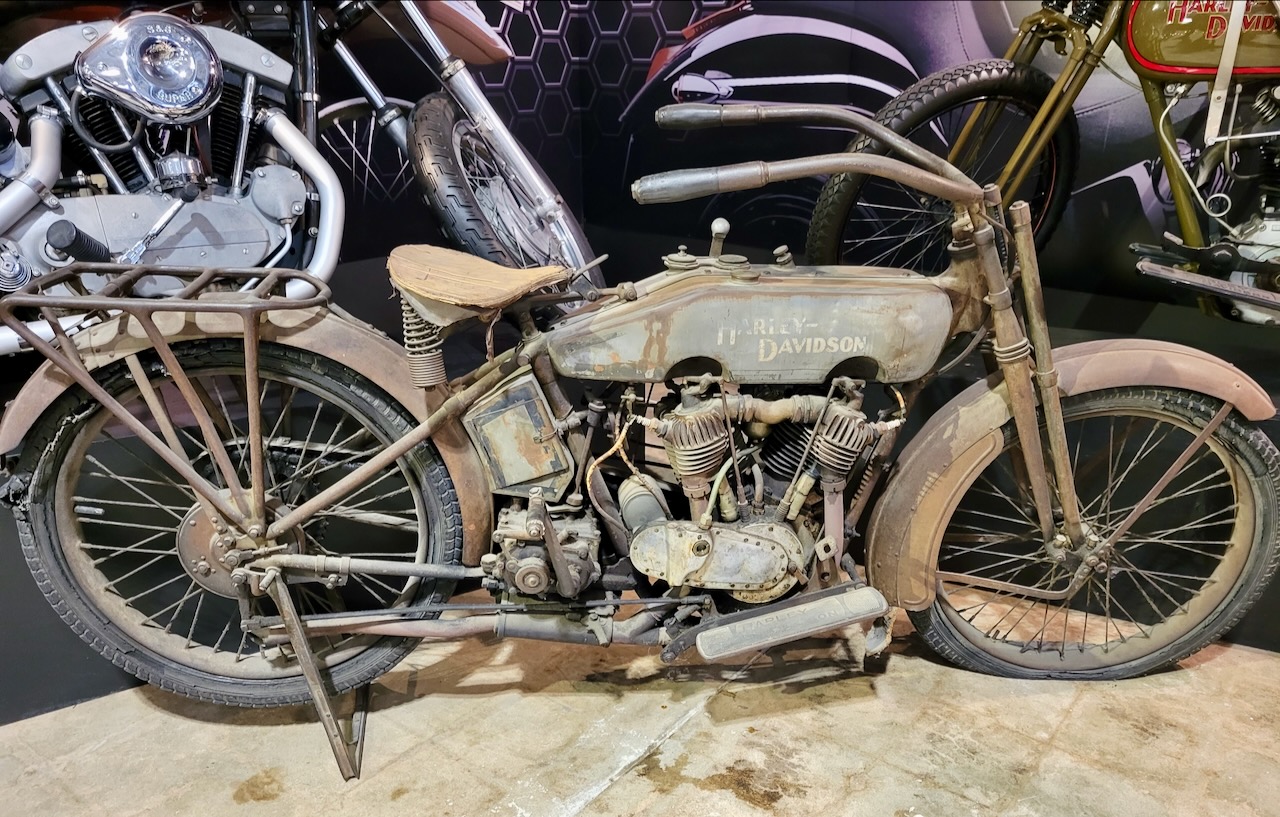
The Indian Motorcycle Company was born in 1901 and dominated racing into the 1940s. At the end of the Great Depression, they and Harley-Davidson were the only two American manufacturers left. The company closed in 1953, and a new company opened in 1999 under the Indian name. They went bankrupt in 2003 in California, and the newly formed company in North Carolina opened in 2006. After an acquisition in 2011, they moved their headquarters to Iowa.

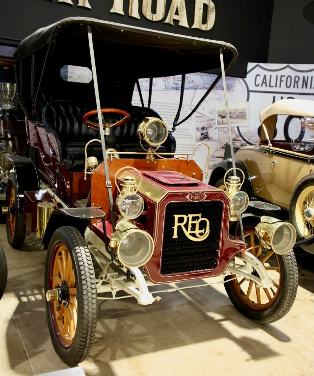
In the 1930s, Henry Ford was giving bootleggers a trunk big enough to store their contraband whiskey and an engine and suspension fit for stock car racing. In 1947, the beginning of van life (without stopping) would begin with a Cadillac and a dream by Louie Mattar. He spent $75,000 and was able to drive with two friends from San Diego to New York and back in 1952 by refueling from a moving gas truck three times.

The backseat included an electric stove, refrigerator, washing machine, chemical toilet, ironing board, medicine cabinet, and a kitchen sink… all travel size, of course. Even more impressive was the ability for the car to refill the radiator, change the oil, and have tires that could be inflated while turning. He also made it from Anchorage to Mexico City in 1954. I agree with his pursuit of travel and hope that after the record-making drives, he found time to repeat those trips and stop along the way.

SATURDAY
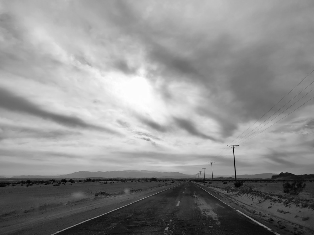
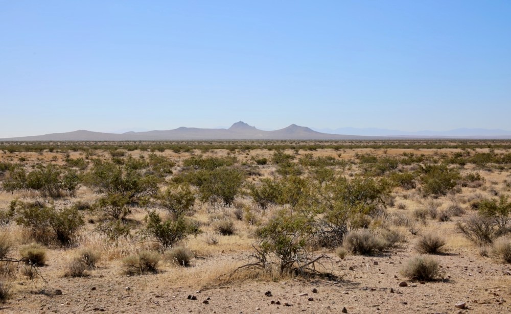
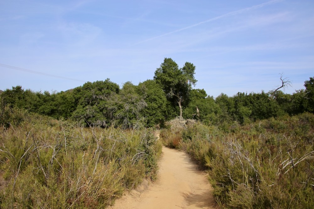
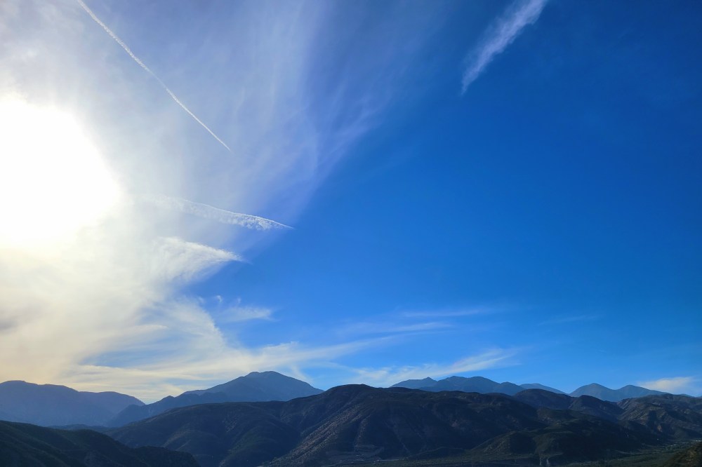
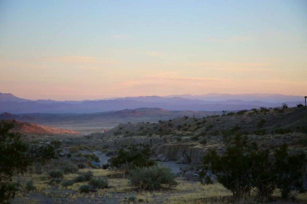
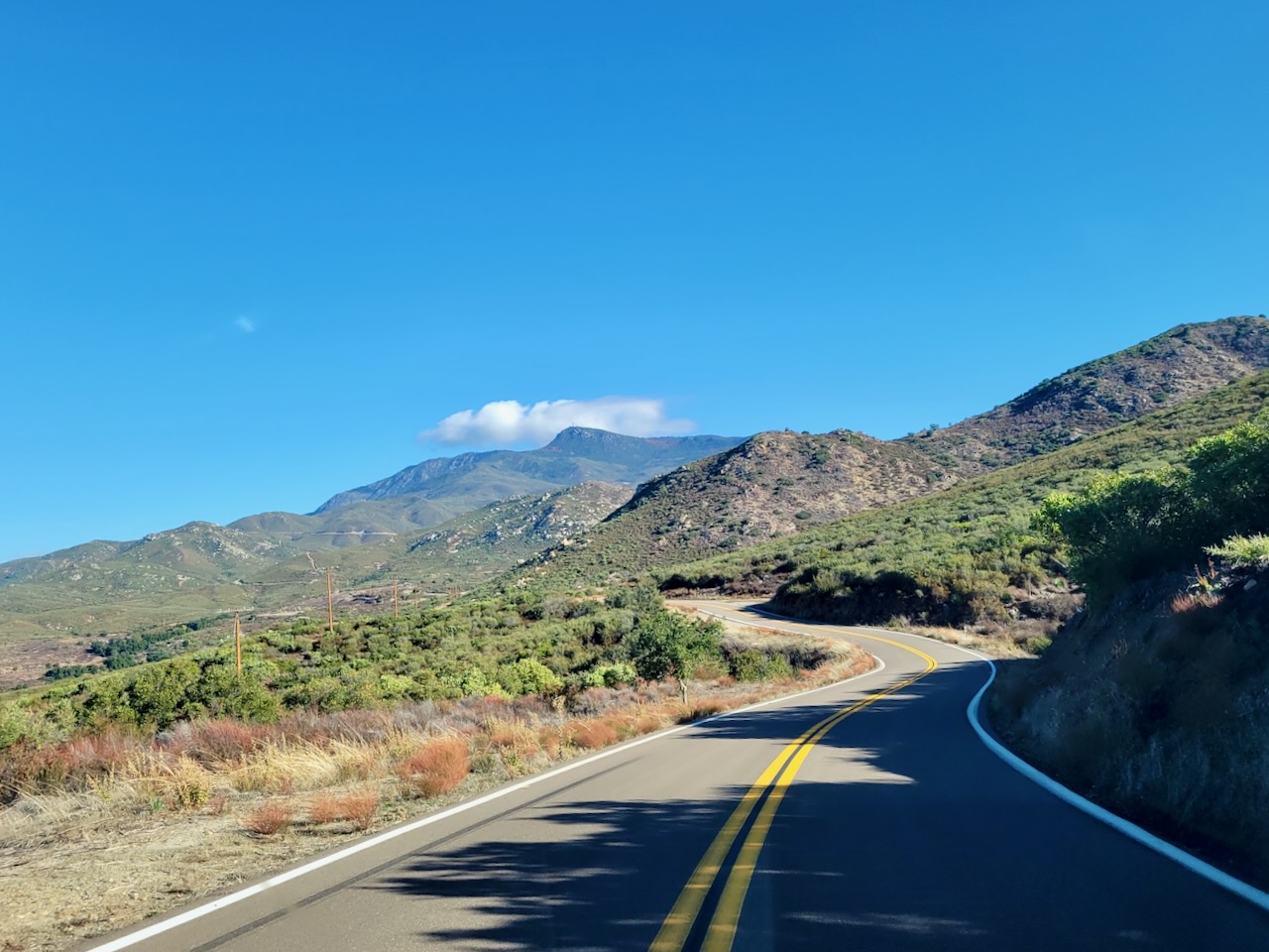
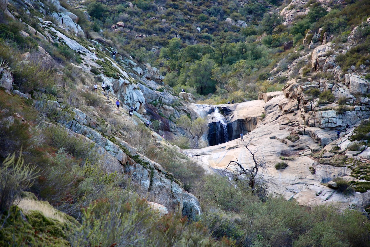
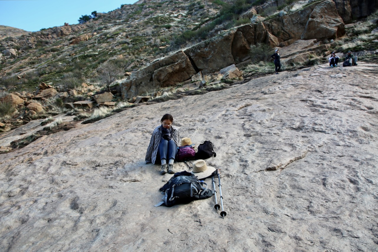
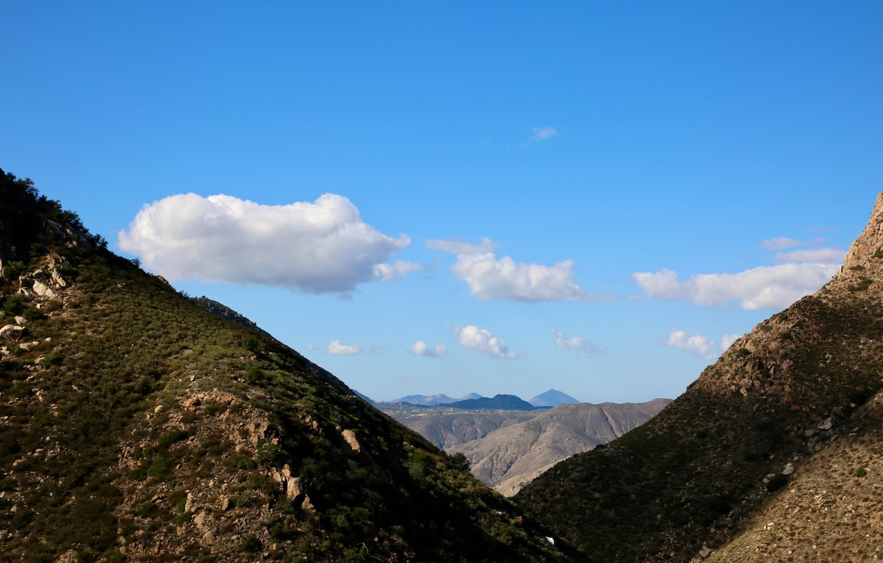
It’s a beautiful day to hike the Three Sisters Falls Trail in the Cleveland National Forest. It’s roughly 4 miles out and back with a thousand feet of elevation gain. The trail is rated from easy to strenuous, so it definitely depends on when you hike in the day and how fit you are before going. The 60-mile drive northeast is pretty, and the views on foot are worth a look. The path weaves in and out of sunlight and shade, of feeling expansive and narrow, and being deserted and crowded (if four people count).

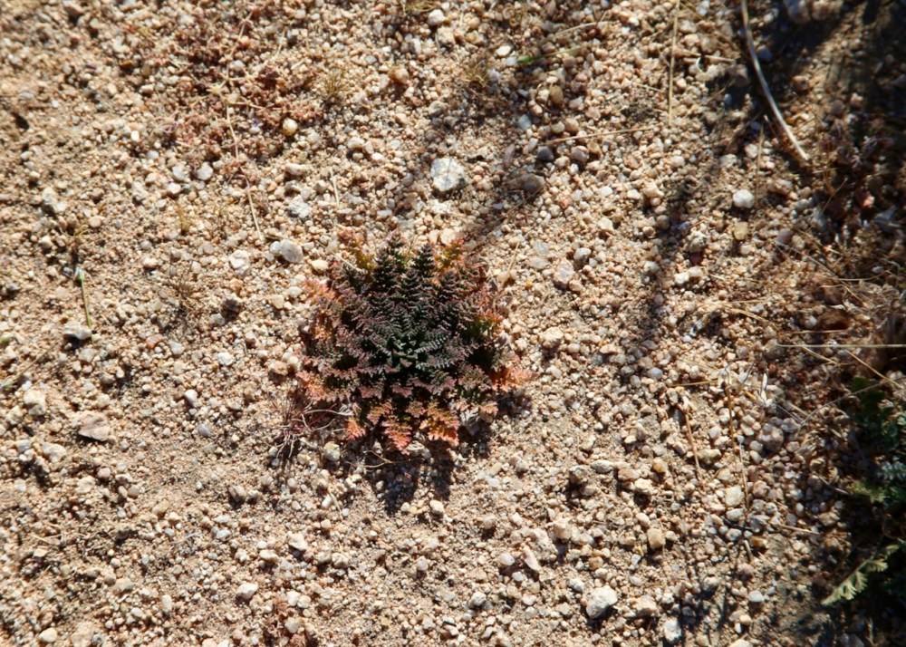
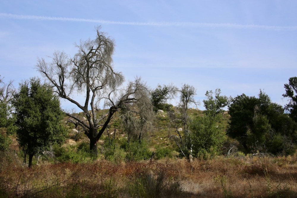
We feel the elevation change in our legs, we see the little mushrooms no bigger than a fingernail, we smell the dust and moist foliage, and hear the stream cascading down the rocks. As for taste, we sip on the flavored electrolyte-enhanced water from our CamelBaks. I step in a puddle and slip at the falls but incur no damage, ego or otherwise. The return hike offers even more to look at as we climb out of the canyon and into the heat.

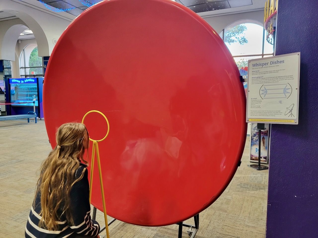
We join Fallon and her daughters for a late lunch at Panama 66 in Balboa Park and then join them on a quick look through the Museum of Us, Museum of Art (focus on photography), and the Fleet Science Center. We spend the most time looking at the PostSecret exhibit, the apothecary of the human body, and the interactive stations, respectively. We part ways to our cars and will meet up again later to soak in the hottub for about 45 minutes at Fallon’s place.

SUNDAY
A morning full of dreams and plant trimmings. I vacuum up the fallen leaves of my fern. We go for a morning walk and then to the store for mushroom powder to make chocolate milk and run into an old neighbor who got kicked out of his blue house with eight dogs, moved to El Cajon and then Arizona, and is back in San Diego for his wife’s job, as he’s retired. We’ll sit poolside until I finish a book and then return home when Caleb gets hungry.

Posted in Art, Food, Friends, Hiking, History, Military, Motorcycle, Places, Plants, Water | Tagged , , , , , , , , , , | Leave a comment

Crater to Chollas and Pie

Getting to sleep was easy, but once dawn was near it grew harder to stay that way. We’re waking up at Amboy Crater, designated a National Natural Landmark in 1973. In 2016, BLM expanded the protected area to 5,700 acres surrounding the Crater to protect the lava field and micro sand dune. One of the animals protected by this is the Chuckwalla lizard which dwells in rocks and lava flows and blends in with its dark skin. They are in the iguana family and as a defense mechanism will wedge themselves in a crevice and gulp air making it more difficult for predators to remove them.

Great egrets are the most popular visitors to the park, but it’s the occasional loon or grebe that needs to be rescued from the overflow parking lot as they’ve mistaken it for a lake. I’m surprised to learn that their legs are further back on their bodies and denser, great for deep diving, but not center of gravity on land, so they are unable to walk and retake flight without the assistance of a large lake at least a quarter-mile in length. Also on the list of non-walking birds are hummingbirds that can hover, perch, and scoot their way through life.

The civil twilight behind mountains is always captivating. I’ll spend the majority of this one staring at the changing colors of the sky; while starting to pack up my sleeping materials. I capture a great sunrise photo as Caleb finishes making our breakfasts and we pack them away, uneaten, as we set off at 630am. We quickly warmed up as we started our eighty-foot ascent, a zig-zagging climb, to the rim that is one mile in circumference. There’s a path that cuts through the middle of the crater where someone has taken on the task of creating rock art.

We cool off again as we near the middle of the circumference but remain hyperfocused on the precarious ledge and the descent as sliding down so much non-skid rock would leave your body peeled more than an orange in a blender. Caleb had suggested eating at the bench on the trail before the ascent, but I was too excited to pause, so I put my appetite on hold until we were near the car again and my food was cold from using the container as a handwarmer; it still fills the void that is my gastrointestinal tract.

There’s a steady flow of trains in the distance that creates a low rumble and I think about how beautiful the world is and how lucky I am to have memories with both my parents in exploring parts of its vast grandeur. I’m even more fortunate to be able to make more of these moments with Caleb as we reminisce about our passed-on pint-sized companions who were able to get as much joy in these places as we still do. I’m grateful that we could carry their fifteen-pound bodies when they got too hot, tired, thirsty, and hurt to go on.

We drive 80 miles south and then west to find the Integratron Sound Bath in Landers; the land of beautiful skies and miles of smiles, only to find the place is closed Monday-Wednesday every week, every January, and from July to mid-September. Oh well, we can still stop and see the Crochet Museum in Joshua Tree.. or not. I thought it was outside of the national park, not in the town of the same name now 24 minutes away, which we thought would add an hour of travel but there’s another entrance for another time.

Except for one visit where I was led past Cholla Cactus Garden by a pilot car we always have this on our list of places to stop. It’s another one of those locations that seemingly never changes, but every time has a new story to tell about how the desert is doing. It also allows us to see which human will leave with cactus spines in their body, either because they wandered off the trail or purposely grabbed a piece to take home. We were going to mention this to one of the other guys in bicycle suits, and Kelvin was kind enough that we should have, but he’s not the other guy’s keeper, though he may end up helping un-prick him.

Instead, we learned that he’s from Atlanta and now works for Trek Travels, so they sent him on a five-day, 135-mile trip, to get the inside scoop on what he’s dealing with. He thinks it’s a creative way to get people interested in Trek bikes versus others on the market. He tells us about the planned stops, the helpful GPS directions, and how the company books meals and stays — a typical inclusive bike touring vacation. This has Caleb and me discussing the evolution of group travel and the technology that has helped improve the experience with weather forecasts, planning around holidays and road closures, and having your map constantly updated when you get lost.

We have a late lunch, on the quiet Box Canyon Road, out of the park before driving the length of it towards Mecca. There are tire marks in the sand and what look to be the remains of someone’s camp under a tree but otherwise this area is left to flourish with the few tavelers fortunate enough to stumble upon this short section of paved road. The Salton Sea will remain a vast mirage today as we drive south on the 86 to make our way to the Borrego Salton Seaway, another beautiful path along our journey.

We find ourselves at Mom’s Pie House in Julian, a town Uncle Ed is always sure to visit when he’s in the area. We leave with a whole berry apple pie to accompany us on the drive through the fall colors that are more common in the hills of San Diego County than the palm-lined streets closer to the beach. We’ll wash the road smell off and unpack the car before going to dinner at Pizza Port so we have less cleanup to do and can then spend the evening looking at which new lens to get for my Canon 5D Mark III.

Posted in Animals, Art, Camping, Family, Food, Hiking, People, Plants, Travel | Tagged , , , , , | Leave a comment

Lake Manly to Amboy Crater

It’s around 2am when I awake in Texas Springs Campground, in the middle of quiet hours, in a dark sky park. I’m grateful I acquainted myself with the location of the toilet earlier so I can stumble there quietly, and though I’m able to cover my eyes from a passing headlamp, I’m blinded by the headlights of a car that wants to be first to wherever they’re going so early. Since I’m up, I might as well take in the view again, so I grab my camera from the unlocked car…

I will try to use the metal table as a tripod, but the camera throws an error message that no change in settings will correct, so I pull out my phone to capture a glimpse into a portion of the amazing. It has been too long since I have seen so much sky and I’m just flabbergasted that people would prefer their artificial lights in solitude rather than around the fire and then under the stars of a night spent with family and friends, or heck, even strangers can be preferable.

As excited as I am thinking about my imaginary tribe in a vast field somewhere, with a forest nearby, as we watch the Earth spin I know I need to return to the confines of my tent or I’ll be tired in a few hours when the rest of the camp begins to stir. I settle back in around 3am and am enjoying the immense quiet, that even with crickets and frogs causing a commotion (not here), only nature can provide when not overwhelmed with the technology of civilization. Meanwhile, Caleb breathes next to me like his life depends on it.

I’m woken before 530am by the illegal wood collectors, who slept in the site next to ours, shaking their tent, scraping the table, slamming their doors, and stomping their dishes. This also wakes the story-telling gentleman and his friend, who not wanting to get out of his tent last night for a piss spilled the collected bottle over his pants, so he will be wearing shorts today and hoping for the high of 77*F to be reached soon. We talked a bit more and he recommends Dante’s View, as they went yesterday and say it’s worth the detour.

We are here to see Lake Manly and at sunrise are ready to make the 17.8 miles drive to Badwater Basin. Seeing the mountains reflected in the water upon approach was mesmerizing and we were thrilled to be able to see more of this special occasion. What we hadn’t realized was that all that early morning traffic was cars getting here in the dark so that they could be scattered all over the wet areas that the park sign clearly said to avoid with their tripods, galoshes, and flowing gowns causing damage that can take years to disappear. We took some photos and I told a couple to avoid crunching through more yet untrampled terrain.

This felt like the equivalent of us all taking a stalactite as a trinket and was frustratingly disappointing as we thought about what would be destroyed underneath. I understand the want to be the one who made it to this rare sight and got the best selfie, and perhaps when the water dries it will evaporate any evidence of their presence, as a ranger confirms that people are free to go in the water, just not any of the wet crunchy land that surrounds it. Sadly, there was no one there to enforce this policy as cars continued to arrive.

There’s a sign above us that says Sea Level and a path that disappears into the canyon, so we try our luck there only to find that it’s not far before we would need mountain climbing gear to get over the straight face of rock staring down at us. We’ll stop at Golden Canyon on our way back to the main road and hike towards Red Cathedral as a man had tried going towards Gower Gulch but was having trouble finding the path. I was more looking forward to the high rocks surrounding me and was surprised to find parts of an old paved road running through the canyon. We’ll have to return for the Zabriskie Point Loop, a 6.5-mile tour on foot of some beautiful desert, especially when the sun lights it up in winter.

In looking to see how our route doubles back on itself, I learned how Lake Manly got its name. There was an expedition of forty-niners that got stranded on a short cut and William Manly was one of two men who returned with supplies and led the party to safety. I’ll drive us the 26 miles up to Dante’s View as I think about how the shape of the park resembles the profile view of the Moai, the heads of Easter Island, and how grateful I am that the park is open with parts of their roads washed out, which some people instead of taking the gravel path slowly just speed up to take the paved road faster.

Along our route is Twenty Mule Team Canyon, a 2.7-mile one-way dirt road detour of beauty through badlands. This area was once a background for films but has since stopped permitting that activity to preserve the park wilderness. I don’t think there was a posted speed limit but I would be ok with all roads being this slow throughout parks as it gives you more time to look around. Some people aren’t as easily impressed but others find this spot worth the stop when passing through, to take pictures of their cars and children, each time. We’ve still got at least 30 minutes before we reach Dante’s View so I won’t be circling around to drive the one-way again.

The lake looks larger from above but that’s also because it’s easier to see the other side and where it’s starting to evaporate. Standing on the spine of the Black Mountains, we are on the Basin and Range Geologic Province that stretches from Utah to California and from Idaho to Mexico. This park has a way of making you feel like a piece of dust while connecting you to the giant ball of particles flying through space at 67,000mph. We hike both directions from the parking lot to take in all the watery goodness.

Coming to the same place at different points in your life allows you a new way of seeing things. I know Caleb and I have been here at least twice as have my Dad and I. Each time the view is changed a little but our perspectives have widened with age and wisdom. It’s comforting to look back at old photos and see our human fragility against the Earth’s stability and know that whether the sun explodes or freezes, or the Earth gets overrun by zombies, aliens, or robots we were here once, twice, three times. We’ll keep coming back when we can to measure our short lives against the unfathomable time of space.

Near Death Valley Junction are toilets and a pay station to enter the park. It’s here I’ll watch a man and his two sons collect some rocks while a couple takes their kid behind a bush to pee; not sure if he couldn’t wait or didn’t want to go inside, but I thought little boys were less squeamish about such things as concerns their undies. In town, is home to the Amargosa Opera House, which was transformed in 1968 after being abandoned for twenty years. The hotel is open and we’re able to tour the lobby. It’s here that we learn that we won’t be seeing inside the historic Corkill Hall and that the hotel used to charge by shower or tub preference, more for the luxury of a combo, as each room came with twin or double beds.

Also posted on the wall are the rates for these rooms – 2 persons with a shower at the inn that faces the valley would be $14.00 or 2 persons with a bath in a sleeping cabin at the camp would be $5.00. In the brochure, “its facilities and accommodations provide the comforts which the city dweller finds he requires on a trip.” Service like this today will cost $107 for a Sunday night. The two women don’t leave the front office and don’t say anything as we have a look around at the curiosities on the shelves that surround them.

Across the street is a retired garage, that allows overnight parking, and an exhibit inaugurated in 2018 in honor of Marta Becket’s first time on stage 50 years prior on February 10. Death Valley Junction had rail service until 1940 and at its peak had a population of 300, which today sits between four and twenty. Our drive south is disrupted by a road closure on the 127, so we detour into Nevada and have to drive past the outskirts of sprawling Las Vegas to get us back on route. We drive through Mojave National Preserve and stop near the train station in Kelso to stretch our legs before continuing south on our long and very bright drive through the desert.

That detour added a hundred miles between where we were and where we were camping for the night as the posted sign recommends three hours for a return trip to walk the perimeter of Amboy Crater and back. We drive back into town where we stopped for gas and coffee that should’ve been free in 2018, but when we go inside it’s a diner-looking gift shop. Amboy was settled in 1858 as a water stop with the Southern Pacific Railroad and Route 66 was opened in 1926. Highway 40 bypassed the town in 1973, and though water is still here, the service at the motel isn’t the same.

Back at the park and exploring the area, Caleb points out a tarantula, which I think is freaking awesome and has Caleb determined that we will not be walking around here after dark and tripping to our death as the arachnids come out in full force to feed upon us. Parked next to us, the only other vehicle being a camper, is Ella Rose, 51, and her husband who is retired Air Force who shot film in the cock pit. He is now interested in developing his digital photo skills in national parks and dark sky places. We talk for about an hour and a half as they are waiting for the stars to emerge.

They are staying to take some shots of the Milky Way and then will drive the two hours home to Bullhead City, with the addition of an hour for the time change; what an inspirational duo. They’ll eat their homemade packed dinners while we cook ours. They take off into the night, warmed inside and out, loaded with gear as we sit down to dinner and try to memorize the sky, as I catch the bright end of a large shooting star; capturing the feeling of being so grand but seemingly so insignificant.

Posted in Camping, Hiking, History, People, Places, Travel, Water | Tagged , , , , , , , | Leave a comment

Finding Treasures in the Desert

I awaken with a black sky scattered with stars and attempt to stare into their souls while Caleb breaks down the tent. We wait until the first red-orange rays of light kiss the horizon to get moving towards the Fossil Canyon Loop, a 4.7-mile drive in the Rainbow Basin Natural Area, with trails crossing the road and other places to walk in the washes as the sun illuminates the shadows and brings the colors of this historic landscape to life.

I had an itinerary taking us towards Ely, NV for the weekend, but also finding the forgotten dream that is California City, with the help of an Atlas Obscura book, we detoured there. It was supposed to be competition for Los Angeles, but the land clearing in the 1950s only increased dust storms which deterred people from building homes in the third largest city in California. The population now is over 15,000 with a prison, two car test tracks, the world’s largest boron mine, Edward’s AFB (where the sound barrier was broken) in the surrounding desert; and is one of the top three birding destinations in Southern California.

I didn’t know all that when we went looking for the city. Caleb pointed out a named street with not a house in sight and we turned down empty roads minus broken toys, rotted trash, and drug paraphernalia. I also underestimated just how large the development was but now we’ve been here and have reasons to return: visit the Honda track that was renovated in 2017, see the open-pit mine (underground from 1927- 1957) that supplies 30% of borates, and experience a “Best in the West” migration on the “Desert Loop” with the help of a bird checklist from natureali.org.

Down another dirt road, we find the Desert Tortoise Research Natural Area, a 40-acre habitat established in 1980 to protect the California state reptile. There’s a large informational signboard about the other animal inhabitants and some plant species that call this place home. I learned that tortoises can share their burrows, usually more than one, 2-1/2 to ten feet in length, with snakes, lizards, birds, spiders, rodents, and foxes escaping the temperature extremes and predators.

There’s a helpful pamphlet that shows a few flowers we might see on our visit, if we were here in spring, and points out a few forbs – a herbaceous flowering plant other than a grass, such as a sunflower without a woody stem. The Desert Candle is named after its stem’s appearance, the Blue dicks that can be pink and purple too, and the Sahara Mustard which is highly invasive. We walk the half-mile Plant Trail and see some common stork’s-bill that stand out against a tan expanse dotted with green vegetation. We walk the three-quarter mile Animal Trail with no sightings and save the 1-1/2 mile Discovery Loop for next time.

Our trip takes us back through town and unbeknownst to me I pull into the abandoned Lake Shore Inn which happens to also be on the Atlas Obscura list of things to see in California City. Nearby are the Borax Visitor Center and on Edwards AFB: the world’s largest compass rose and satellite calibration targets, but visitors would need base access to visit the last two. It was the empty blocks of the hotel that caught my eye, like the housing I would see overseas, but it seemed like the back wall was never built and the rooms never finished.

The inn was abandoned over two decades ago and has since been boarded up in sections and surrounded by a fence. It seems someone might live in the office, with their dogs outside, which has perhaps kept others from squatting or holding pop-up raves inside. We are watched by two ravens who seem to be waiting for us to notice that the parking lot has become overgrown with a weed commonly known as goathead, devil’s thorn, or puncturevine. Our shoes tap-dancing across the sidewalk will have me sitting down while I pick 50 of them from my shoes.

We were more cautious on our walk back to the car and checked our soles once again to avoid this smothering species finding its way to wherever we were going next — through Red Rock Canyon State Park. On the other side, we find ourselves at Robber’s Roost Ranch, a ghost town with a mini-mart that sells frog balls (pickled Brussels sprouts) and ice of which I saw the sign for one and missed an opportunity to try something different. This route would also bring us across the Fish Rocks, like the piles laid at the beach as a breakwater, but left in the desert for family photo opportunities that we weren’t a part of.

A few miles east on the 178 we see a sign for Trona Pinnacles, which, unlike the painted teeth and eyes from the 1940s, have been around at least 10,000 years when over 500 tufa spires sprung from the dry bed of the Searles Lake. The area is known for being the background of popular films and the primitive camping it provides. It’s also popular with OHV. We park in the gravel lot and walk down the steep path to get a closer view, even though our car is more than capable of driving amongst the desert formations, we don’t feel the need to be in the dust cloud others are creating.

It’s a ten-mile out-and-back detour down the dirt road to return us to Trona Road so that we can head north. The John and Dennis Searles’ wagon routes passed through here in 1873-1895 to haul borax to Mojave. In 1922, Thomas Wright began work on a two-year construction of a monorail to transport Epsom salts, but the line never worked properly and was salvaged in the 1930s. The only ruins we see are two busted cars that seem to have slid from the cliff — one rusting to death while the other chose the sharp rocks option of being turned into parts.

Shortly after this distraction, we are stopped in the middle of the road by the local wild burro looking for snacks. I offer them a pet and a photo and then usher them to the side of the pavement for the other passing vehicles that aren’t as patient on a Saturday afternoon; though I’m sure that’s a personality trait they carry with them everywhere. I’ll stick with my overly curious and friendly demeanor as we make our way into Death Valley, so we can get a peek at Lake Manly formed in Badwater Basin by Hurricane Hilary in August. The last lake was formed in the winter of 2005 and was substantially smaller.

Into the park and I pull over away from the no-parking signs to inquire about the roadside wreckage. A semi-truck with 48,000 pounds of bees and their hive boxes flipped its load and tore itself apart coming downhill too fast on a turn and the company has employees out to rescue as much of the pollinating cargo as possible. We’re still an hour and a half from Furnace Creek where we will stop for stickers and to ask about camping. We found a spot at Texas Spring where camping is $16/night and is proposed to increase to $20/night in February to help cover educational programs and flood repairs.

We drive to The Oasis General Store for firewood and hot cocoa and leave with the one that will help warm our outsides. When we return to our spot we see more people leaving spot 18, not the best tent site, but finally, two women decide on it and one will burn their trash to roast marshmallows in (that blows our direction) while the other sets up their tent. On the other side of us, a group of five returns from their illegal wood-collecting expedition and moves their table across their site so that one of their headlamps can poke us in the face.

I’ll walk up and point out the issue so it can kindly be resolved just to have a woman with her brighter light cutting through our camp because she’s too busy on her phone to pay attention to where she’s going. And to think, we had the option of joining the crowds for some assisted star gazing in a parking lot across from the Furnace Creek Visitor Center. The sunset with dinner was enjoyable, as was the reading next to the fire, although Caleb’s Kindle was in rest mode from lack of recharge. We let the fire burn out to improve our star-gazing view, especially with the Christmas lights dinner party happening across the road from us.

Our neighbors must have been at the telescope tents or at a late dinner because as they arrived, we were climbing into our tent. One of the men tells his friend the story of a comic strip: a magician goes to the eye doctor while aliens are demanding that humans contact them at sea.. only to find out that the aliens are on his eye! His friend enjoys the story, as do I listening to his grandfatherly voice, and agrees that the screaming toddler should be dealt with, by perhaps putting the infant in the car after the first fifteen minutes of wailing to dull the noise for the rest of the camp.

Camping in populated areas is not worth the hype and I have no idea how people get motivated to stay in these large groups. Still, even we tricked ourselves into staying at the Everglades, twice, after swearing we wouldn’t return to Mosquito Murder Island where cars and humans are dive-bombed to death. We need to return to muddy swamps and frozen prairies where we have some of the best memories of being in a tent and sleeping on sticks next to a river. The best part about nature is being able to fully experience it without other people, though in passing they do make for good details in the travel story you can tell later.

Posted in Animals, Art, Camping, Hiking, History, People, Places, Plants, Travel | Tagged , , , , , , | Leave a comment

Owl Canyon Campground

I skipped the gym yesterday so I could finish setting up an outline of plans for our four-day weekend and clean the house in preparation for our absence; because it’s a bummer to come home to a mess when you’ve got dishes and laundry from travel that need your attention and a place that collects dust and cobwebs whether you’re there or not to witness their accumulation.

We left late for us, not because either of us was sleeping, but because we waited till morning to get everything in the car. We’ll stop near Escondido for bagels and donuts before driving to Santa Rosa Plateau Ecological Preserve for a short 1.2-mile loop hike on the Granite Loop Trail. We’ll see a white-crowned sparrow, a ground squirrel, and a Stephenomeria (meaning crown divided) flower also known as wirelettuce in shades of purple and white.

I’m grateful for what we’re getting to see but also reminded of why we don’t come this way more often. The traffic that condenses around the metropolis that is Los Angeles slows our route so that we can either choose to hike more trails here or continue on to reach our destination by nightfall. I always put more on my itinerary than I can hope to accomplish so that I’m never without an idea of what to do or where to go to happen upon something I might not have otherwise noticed.

We’ll have to come back for the Moreno and Machado adobes, cowboy bunkhouses built in 1846, the oldest standing structures in Riverside County. The next stop on our list is the North Etiwanda Preserve. I thought we would do the 3.2-mile out-and-back to the falls. We ended up going further after taking two detours to the left – the first to avoid further elevation gain after a 600-foot climb and the second to see the Early Settlers Ruin built in 1771 by Spanish missionaries. This was the first home in the nation to be lit by hydroelectric power.

The Preserve was established in 1998 to keep the 762 acres of habitat of the Coastal California Gnatcatcher which makes its home in the Riversidian Alluvial Fan Sage Scrub intact. There has since been added 414 acres. Back in 1882, the first wooden flumes were laid over 2 and 3/4 miles. When these decayed or washed away in a flood, they were replaced with clay pipes that would eventually be replaced with buried concrete pipes to protect from damage and evaporation. These pipes would be controlled by a ditch master who would regulate the water supply to local ranchers.

Remnants of this system are found along the trail and in Day Canyon. We’re here to take in the verdant views of the hills and the surrounding mountains before we head for Owl Canyon Campground where we will sleep among the stones and stars. We stop in Barstow and unprompted a woman pulls away from the gas pump with the hose still in her tank; a first for me to see live. We’ll get fuel for $4.08/gallon and then look for a toilet. There’s not one here, they’re out of order at Rite Aid, but 7-Eleven comes through for us.

We don’t know what to expect at the camp and don’t want to wait the 25 minutes with part of our drive on a dirt road to get there to find out. This area provides a six million-year history of the Earth’s crust in the Mojave Geologic Block and we’re lucky enough to get in some trail time before dark as the valley was already covered in shade. Our neighbor for the night is from Montana and is down for his six-month camping trip so he can sit outside in cool air without his feet buried in snow. Caleb builds us a fire to read by and then makes dinner. When the fire refuses to keep burning, and keeping us warm, we move into the tent.

Posted in Animals, Camping, Hiking, History, Plants, Travel | Tagged , , , , | Leave a comment