
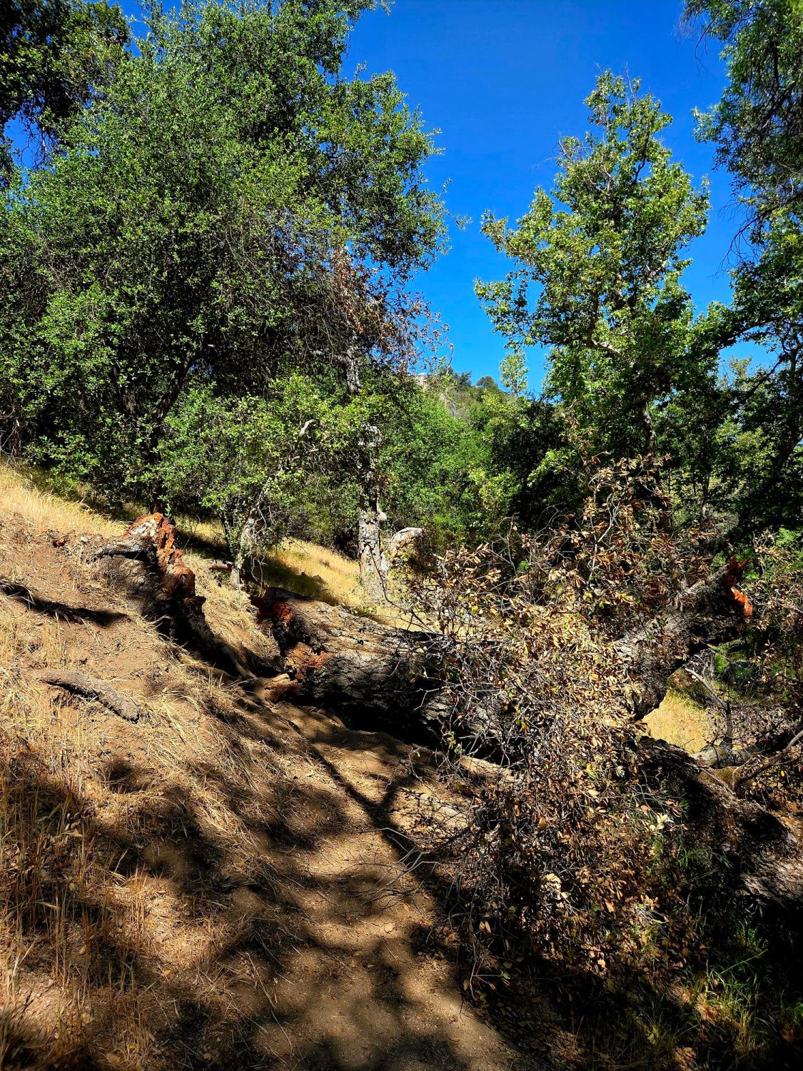
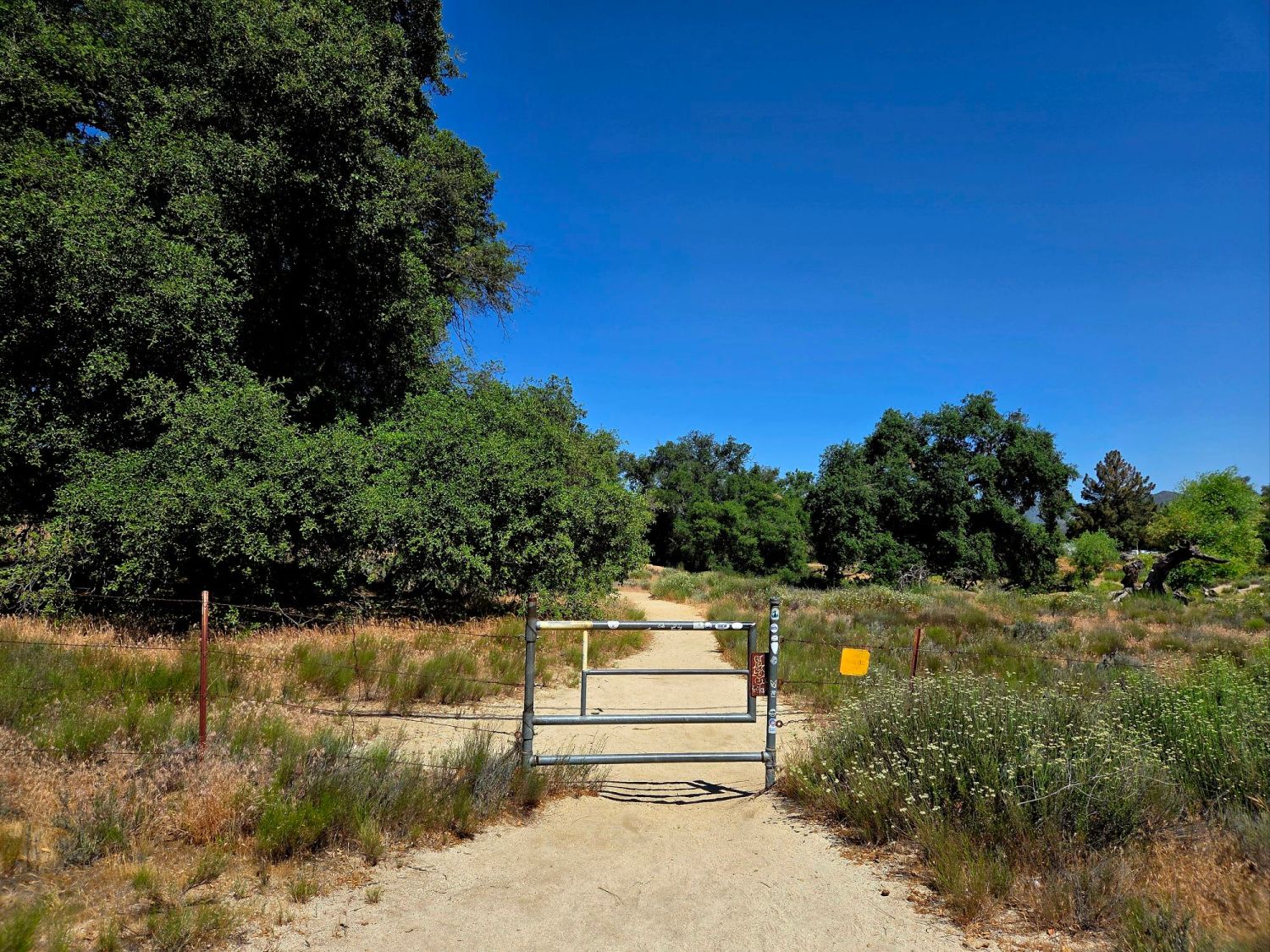
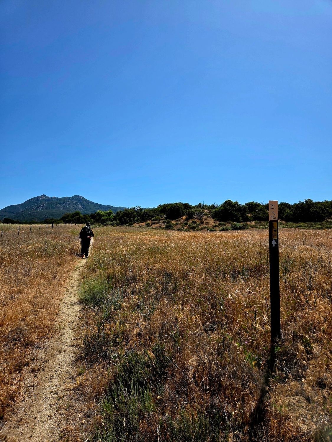
We are three miles from Eagle Rock, a popular waypoint on the PCT around mile 106 when we wake. We get to pass under shade, by cows, and through a meadow. We climb over our first downed tree, listen to the creek, and close the gates behind us as we go. Sometimes Caleb can’t hear me, but has no problem with the baby kangaroo mouse yelling for its mom.
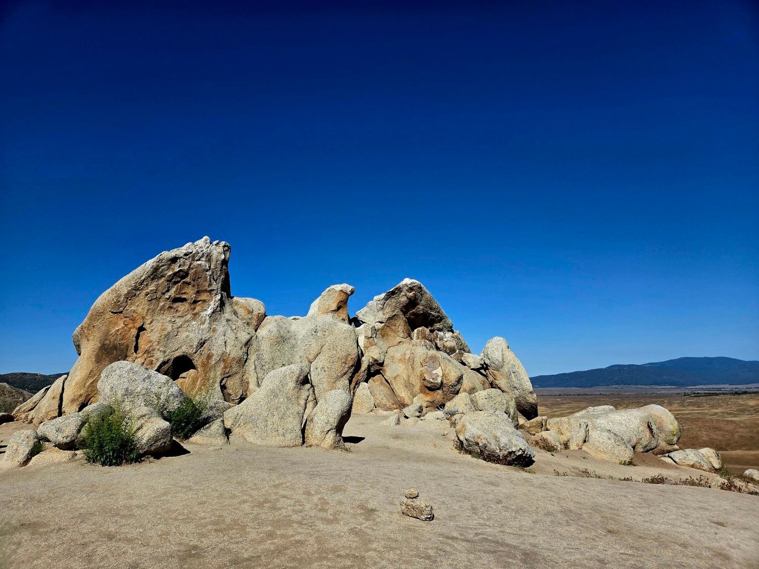
The epic game of hide-and-seek will be over on our return. We approached the eagle from behind and walked around until we got the angle right. We could have taken more celebratory photos, but we were happy enough to be back on the trail. We take a side route (versus road-walking) on the California Trail to get to the post office for our first resupply box that came with a dead ladybug.
The woman points us to a hiker box, a sign of a PCT-friendly business, but we are not in need of what’s inside especially the wrong-sized shoes. We see that Gert signed the hiker log two days ago so we are not far behind our trail family. We are putting our bags on for the one-mile return to the car when a woman pulls in and tells us to get in her car. She was that direct.
We move some things around and climb in. She comes out with a stack of boxes and lets us know she’s on the way to the Community Center to start her volunteer shift to help hikers. We saw a guy at a picnic table nearby so we picked him up too. We see that Rachel and Ravi signed the logbook and that we are at mile 109.5. We skipped 29 trail miles driving here and will skip another 42 miles to make it to Paradise Valley Cafe (PVC).
Imagine their surprise when Gert and Rachel see us, especially after just sending them a picture of the hiker log from Warner Springs. They are eating lunch with Trailer Park, a hippie who looks like Forrest Gump after his long run. The cafe is out of coffee ice cream, but they do have our package amongst a stack of others and ask to see ID, which I appreciate.
We agree to meet them on the trail for some reunion drinks, mostly electrolyte types after they hike another six miles. We drive to Sunshine Market in Anza and then to Hialeah Way, which connects to Pimlico Dr., which appears to intersect with the PCT. Upon closer inspection of the map (and being out there) we realize the Canyon/Forest Service “Road” is a washout (in both senses of the word – unsuccessful event and destroyed road).
There is a sign warning off trespassers, so we try another route, but it’s all driveways and locked gates, so we return to drive by a ranch and a few houses and then proceed to scratch our car as we climb too close to bushes over rocks and ruts. We yelled for them but they misunderstood where we were in relation to them. This led to more miles hiked for the day than any of us had planned.
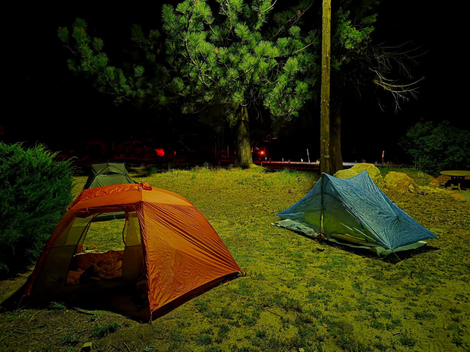
We return to PVC in two trips for dinner and coffee (I’m too tired for it to keep me up tonight) as we stay up past hiker bedtime exchanging every major injury (broken bones, massive burns, lengthy scars, missing parts, and surgeries) story and then setting up our tents or cowboy camping.


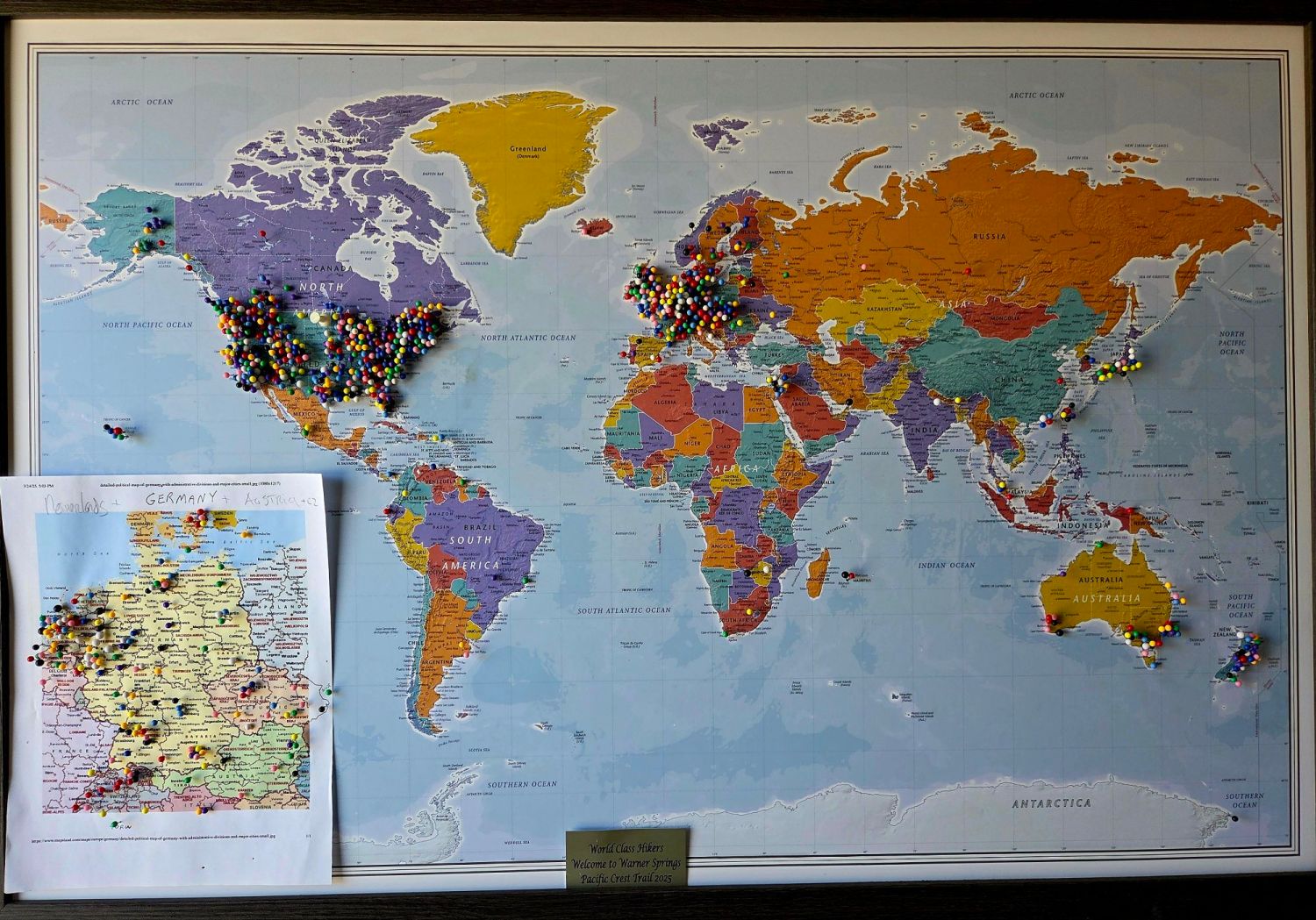
Thank you for keeping track and always leaving the light on. We’ll see where we are in a few weeks.
LikeLike
I’m looking forward to it.
LikeLike
Thank you for the Nice stories you write.
See you next week.
Anouska
LikeLike
Tried to email you directly, popped back to me… You kids are on track to stop by Marysville if you hold your mouth right! We’ll leave the light on for you, feed you good, let you shower and even do your laundry overnight!
Be safe!
Your Uncle Chester
LikeLike