
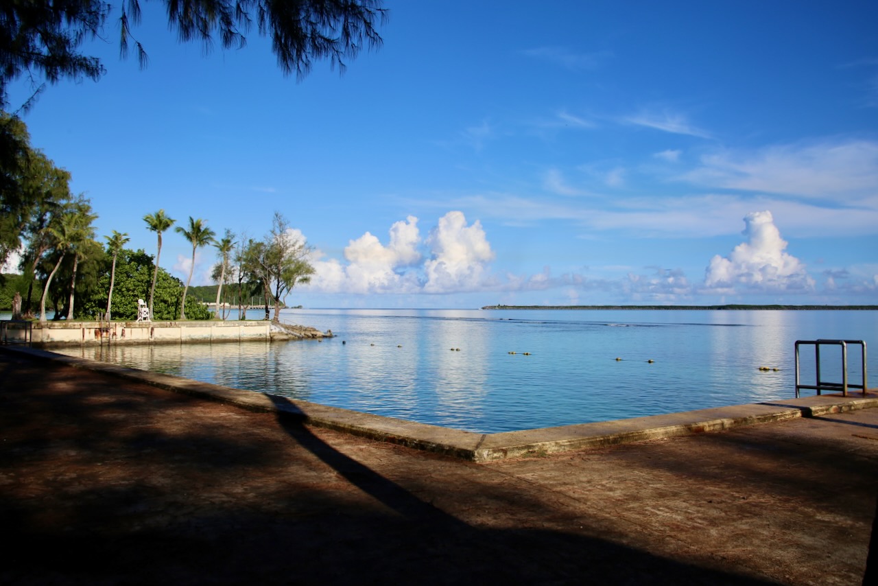
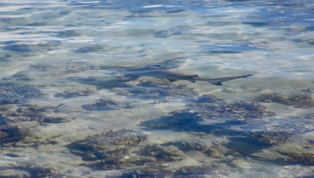
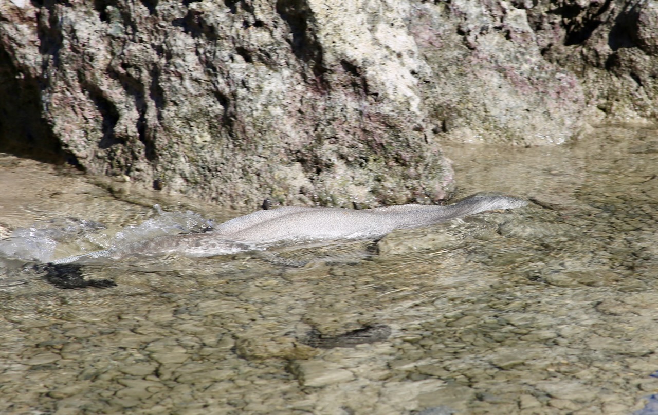
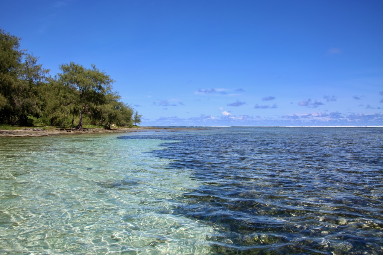
We stopped at Manny’s Bakeshop for some breakfast on the go. I start today’s sightseeing at Gab Gab Beach, which I have to myself. With my feet in the sand, I watch a baby blacktip reef shark, a spotted hermit crab, and a white ribbon eel explore the sandy depths and jagged rocks. There are also a few flathead grey mullet, a fish with a bad haircut name. I am also amazed at the layers of limestone, the colors of cumulus, and the reflection of rays. I understand why some cultures never stepped out of nature and into a board meeting; just because we can doesn’t mean we should.
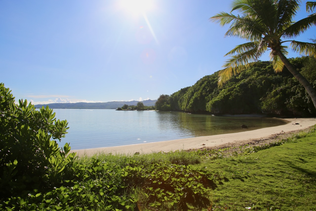
Gab Gab Beach
After soaking up some salt and sunshine, I was lucky enough to see a young Atlantic ghost crab, probably not due to its sandy camouflage, but its speed (over 2mph when running). Twenty-five dogs, mostly Doberman pinchers and German shepherds, helped the Marines sniff out mine fields, carry medical supplies, and warn of an approaching enemy. These duties cost these “Devil Dogs” their lives, but saved hundreds of Marines, so they are laid to rest with affection and respect in the War Dog Cemetery.

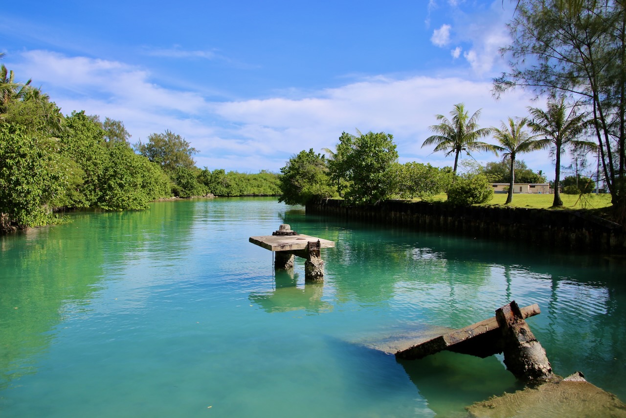
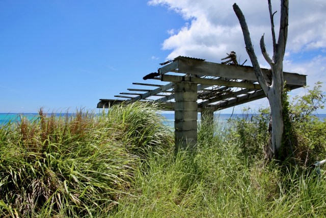
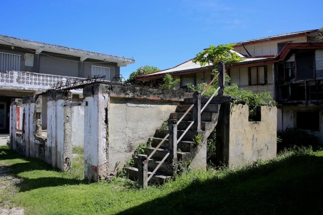
There is a simple, bright yellow sign with Historical Trail written in blue located on the roadside. The chainlink fence and concrete path are overgrown, so I park by the open gate and make my way into this secret garden. Somewhere on the Orote Peninsula is an old runway, parts of which are still used for military training, while I must have found an old parking lot. I see another sign, this one a bit weathered, telling me about a fuselage located 320 meters down the historic trail of sharp limestone, with the rest of the warning missing a few letters.
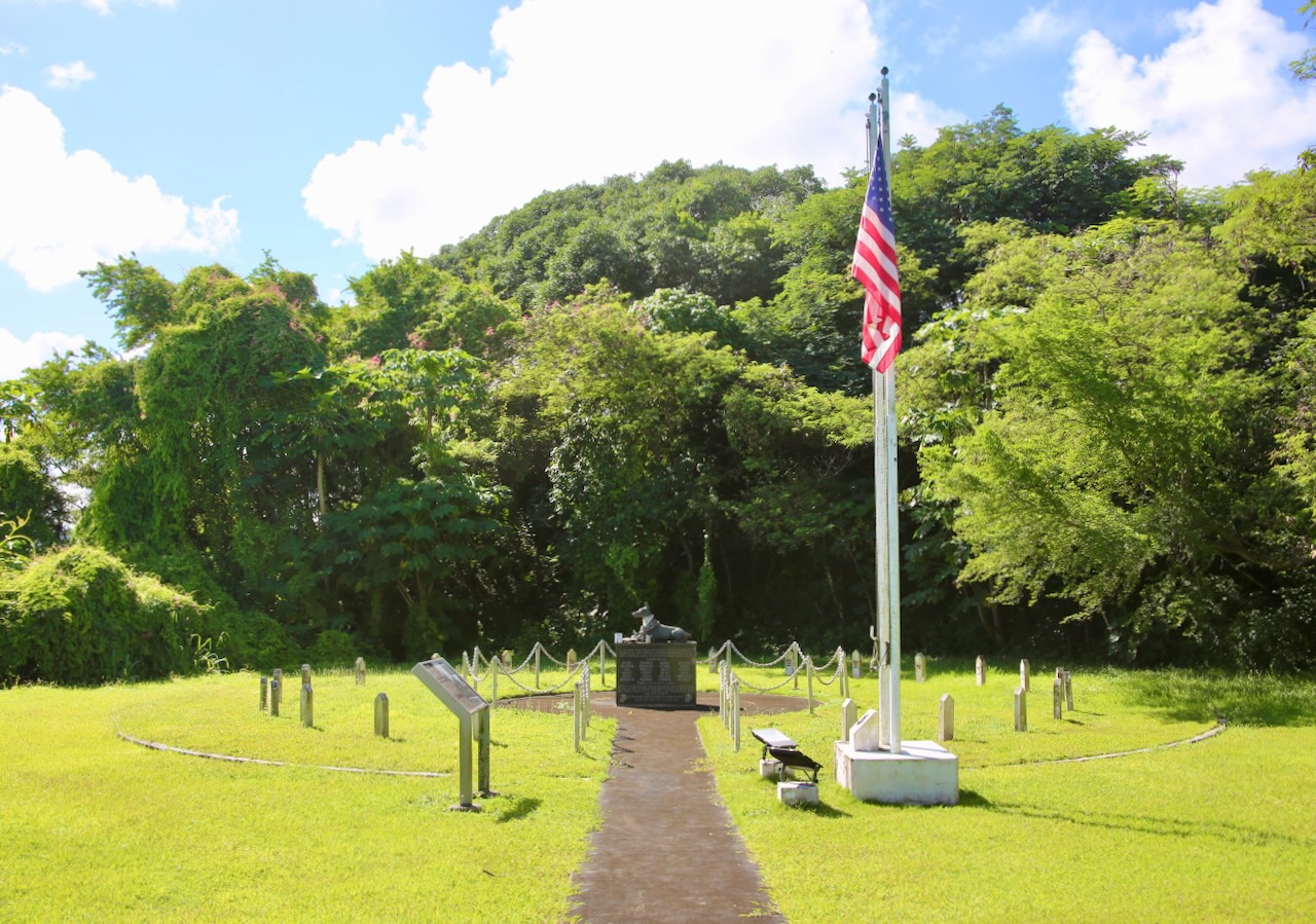
War Dog Cemetery
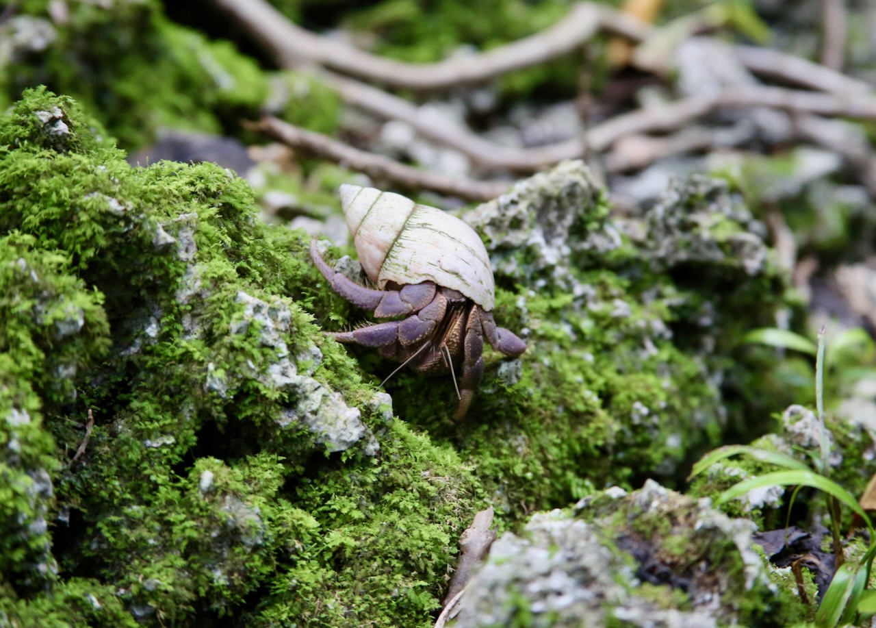
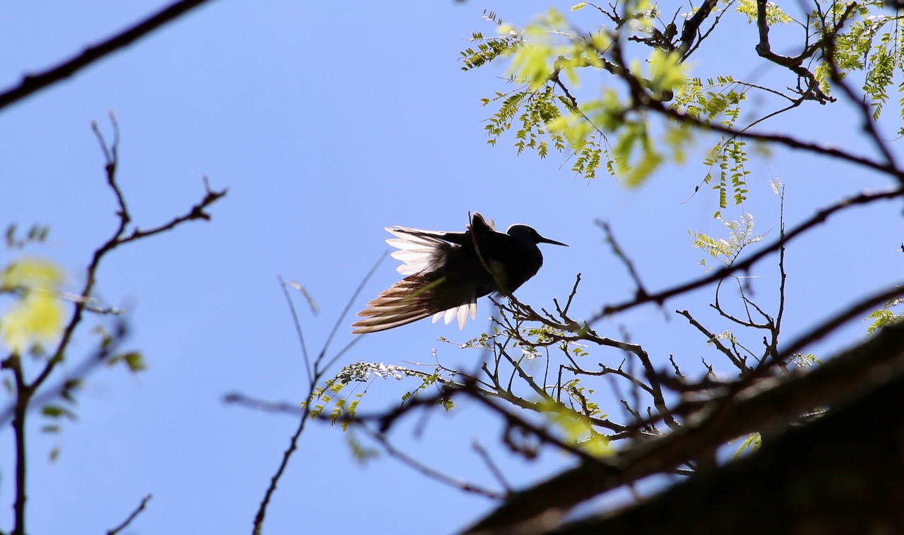
Always excited at a chance to explore, I set off into the jungle, the ground covered in the rough rock mentioned, in my flip flops. I am soon distracted by an Indonesian hermit crab and a female eggfly butterfly. This hike is going wonderfully, until twenty meters in, I’m ambushed by a swarm of mosquitoes that don’t stop stinging me until I reach the clearing. Perhaps I should’ve run the other way, but I had no idea what other diversions and traps awaited. I make my way back to the car, sad that I wasn’t more prepared to deal with the bothersome, so I could indulge in the beautiful.
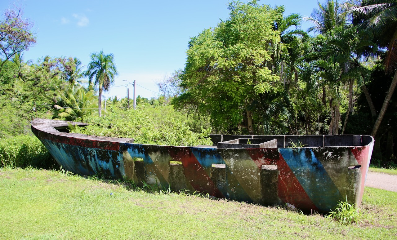
I get to the security gate as a guy is dropping off Caleb, so we can get Thai food (likely from Lemon Grass Restaurant) for an early lunch, and then I return him to work at noon. I drive to the T. Stell Newman (the first superintendent for the park) Visitor Center. Outside is a two-man submarine that ran aground more than a week after the battle ended. The Japanese built more than 2,000 of these over ten years, and these subs are credited with sinking only one ship during WWII. At the end of the war, most other military equipment was to become artificial reefs.
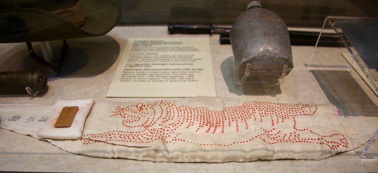
Senninbari (thousand stitch belt) with an amulet
America brought in the Navajos to develop a code based on their language that baffled the Japanese, and that would be used for decades after the war. America used second-generation Japanese-Americans (Nisei) to translate Japanese. It takes a lot of violence and usually behind-the-scenes peaceful operations to win a war or come to an agreement faster. I hope that in a thousand years, this island can find more focus on a thriving turtle population than on the history of humans trying to destroy each other. I leave the museum with two stamps in a cute envelope and make my way around the southern end of the island, this time past Umatac Bridge.
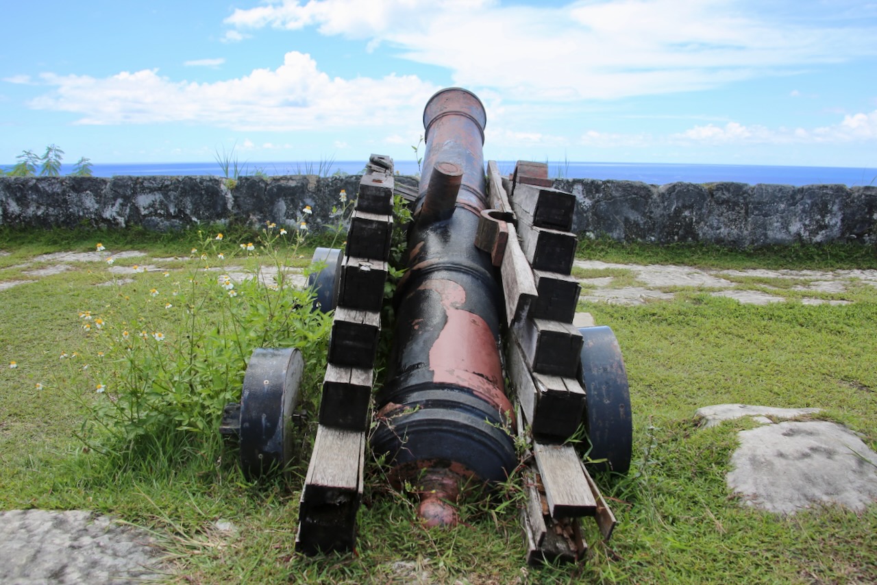
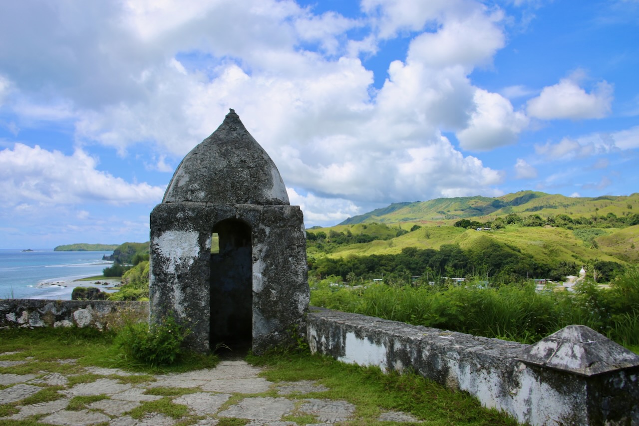
Fort Nuestra de la Soledad, 1810, the last of four fortifications built by the Spanish to protect their replenishment spot between Mexico and the Philippines from pirates, was left to weather and treasure hunters by 1815. After WWII, the remaining crumbles and cannons were turned into a park, which is what I get to see today, with vast views of the sea below. A few minutes away is the Merizo Pier Park, where a few signs talk about the boats (sakman and galaide’ proa), hooks (bones of fish and human), nets (lagua’ pula, and the central tenet of Chamorro culture (inafa’ maolek – to make good: repair relationships, maintain peace, and ensure the community thrives together).
The large pier is used for swimming, and the skinnier piers have cleats, but only tourists with kids and cameras on them, no boats. The 24-foot tiered Merizo Bell Tower might not look like much, but its significance comes from the blend of Spanish colonial architecture (mamposteria) in 1910 and the local identity. The Chamorro used the bell as a call to worship, a notice for village meetings, and disaster warnings. The bell was listed in 1975 on the National Register of Historic Places.
There is a trail behind the San Dimas Church with a metal railing that accompanies a majority of the climbing path. From the top, I can see Cocos Island, roughly a mile from the mainland and just as long, and only available for day trips. The ferry across is supposedly $40 for tourists, but the bird watching is greater than on the mainland. It’s cute to see small islands taking advantage of smaller islands as getaway destinations, and a place to charge visitors even more.
Family Beach
Instead of dealing with ferry schedules and fees, I’ll check out some abandoned cars along the road and then get in the water at a nearby beach. I have yet to meet an empty beach that I don’t love. The Antonia Chargualaf House was built in the 1940s of ifil (termite-resistant hardwood) posts, flooring, and framing. During the Japanese occupation, it was used to distribute rice to the village residents, and the couple that lived there raised their ten children. The house was destroyed in 2002 and rebuilt in 2018, with the help of the Guam Preservation Trust, to modern standards, ensuring its longevity.
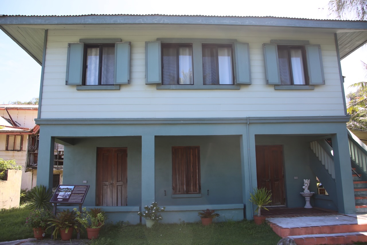
The house is seen as a symbol of CHamoru resilience and heritage that can be used to teach others about architecture, family life, and community. Meanwhile, the surrounding homes were left in a state of disrepair due to WWII, neglect, typhoons, and the widening of Highway 4, which runs directly through the historic district. It’s not until I turn onto the 4A to complete the southern loop that I get lost and end up in someone’s yard, with a car-attacking dog. I’m not sure if just overly friendly in an aggressive way or doing its part to ensure a strict no-visitor policy.
I’ll spend the rest of the late afternoon at Family Beach, which is better for a BBQ than it is for swimming, but apparently a great area for snorkeling and diving. The road is in rough condition, perhaps because the slender shore is sandwiched between restricted areas, either municipal or military. I meet some divers who tell me that Gun Beach is good for seeing turtles and watching octopus porn. I should’ve told them to wait there while I picked up Caleb, and then we could go diving together, but it takes us an hour to reach the room after he gets off work.
We walk to Ypao Beach to snorkel in the darkening waters of sunset and see more sea cucumbers, another Moorish idol, and a boxfish (one of my favorites). Now that Caleb has rinsed off the sweat in the ocean, he can rinse off the salt in the shower before dinner. Then we go searching for coconut crabs on the dimly lit beach, Caleb in shoes and me barefoot. I have no trouble adjusting to island life and am sufficiently tired when we return. We rinse our feet and go to bed.

